Transport Functions
Port
Road
Hub Profile
Place type
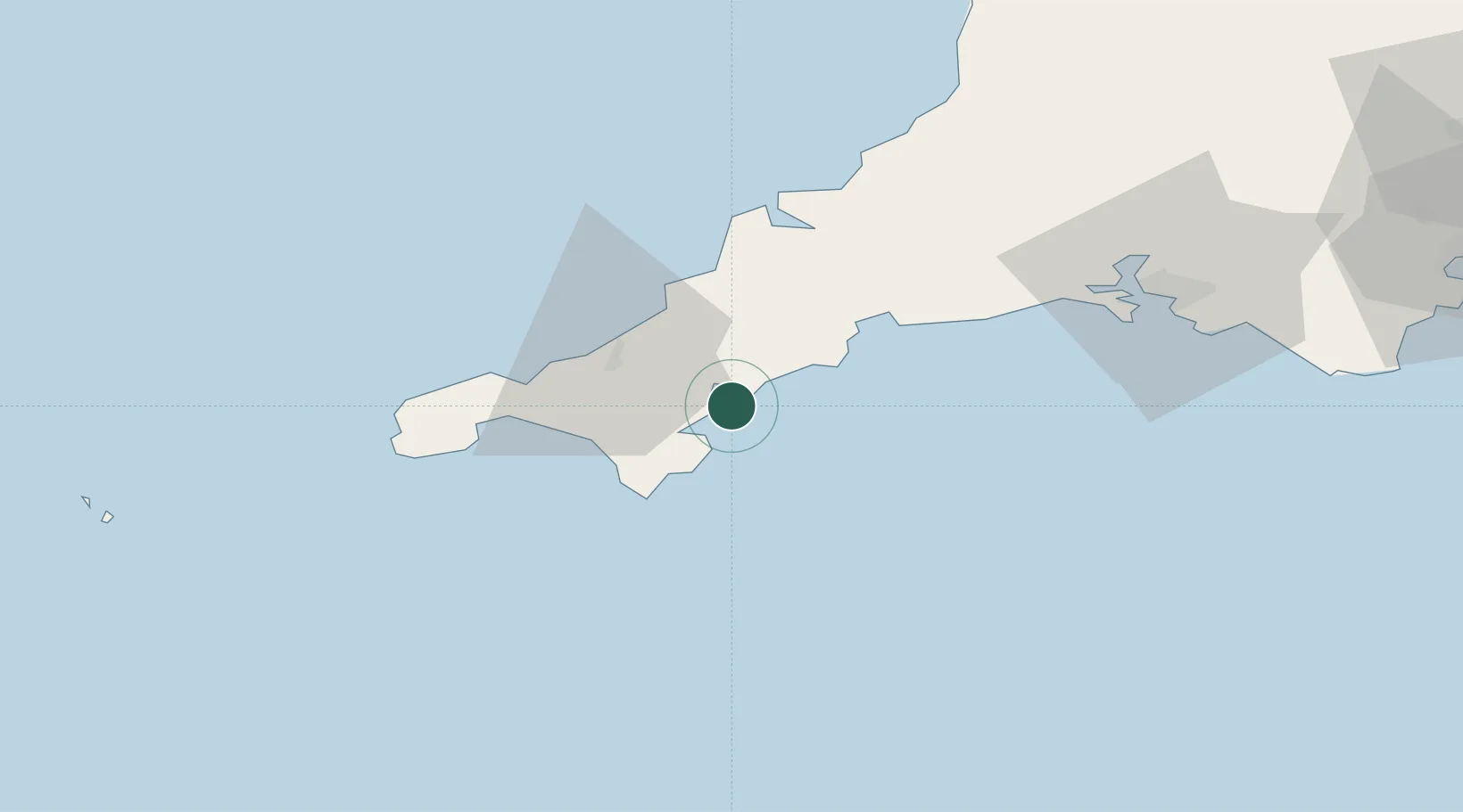
Populated place
Region
England
Time zone
Europe/London
Elevation
9 m
Location
Nearby Logistics Neighbours
Cities
- 1Mylor3 km
- 2Flushing4 km
- 3Portscatho4 km
- 4Budock Water7 km
- 5Saint Clement11 km
Ports
- 1Falmouth Harbour4 km
- 2Mevagissey21 km
- 3Charlestown28 km
- 4Hayle29 km
- 5Par32 km
Airports
- 1RNAS Culdrose19 km
- 2Cornwall Airport Newquay32 km
- 3Penzance Heliport36 km
- 4Land's End Airport47 km
- 5St. Mary's Airport95 km
Trade Zones
DatabookThe Record of Consolidated Knowledge
United Kingdom beyond logistics?