UN/LOCODE hub · United Kingdom
GBFIS
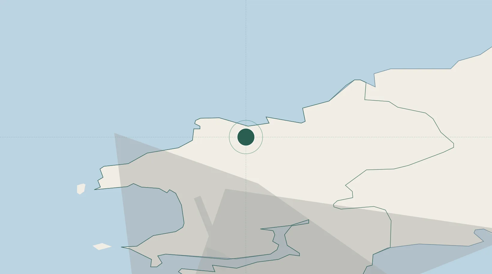
Fishguard
51.9833°, -4.9667°
3,419
Population
1
Transport functions
Transport Functions
Port
Hub Profile
Place type
Populated place
Region
Wales
Population
3,419
Time zone
Europe/London
Elevation
63 m
Location
Nearby Logistics Neighbours
Cities
- 1Abercastle11 km
- 2Porthgain15 km
- 3Solva (Solfach)20 km
- 4Tyddewi (St David's)22 km
- 5Bethesda23 km
Ports
- 1Milford Haven30 km
- 2Swansea81 km
- 3Neath87 km
- 4Port Talbot91 km
- 5Rosslare98 km
Airports
- 1Haverfordwest Airport17 km
- 2Swansea Airport75 km
- 3Lundy Island Helipad93 km
- 4Hartland Point Heliport112 km
- 5Royal Marines Base Chivenor115 km
Trade Zones
DatabookThe Record of Consolidated Knowledge
United Kingdom beyond logistics?