Transport Functions
Port
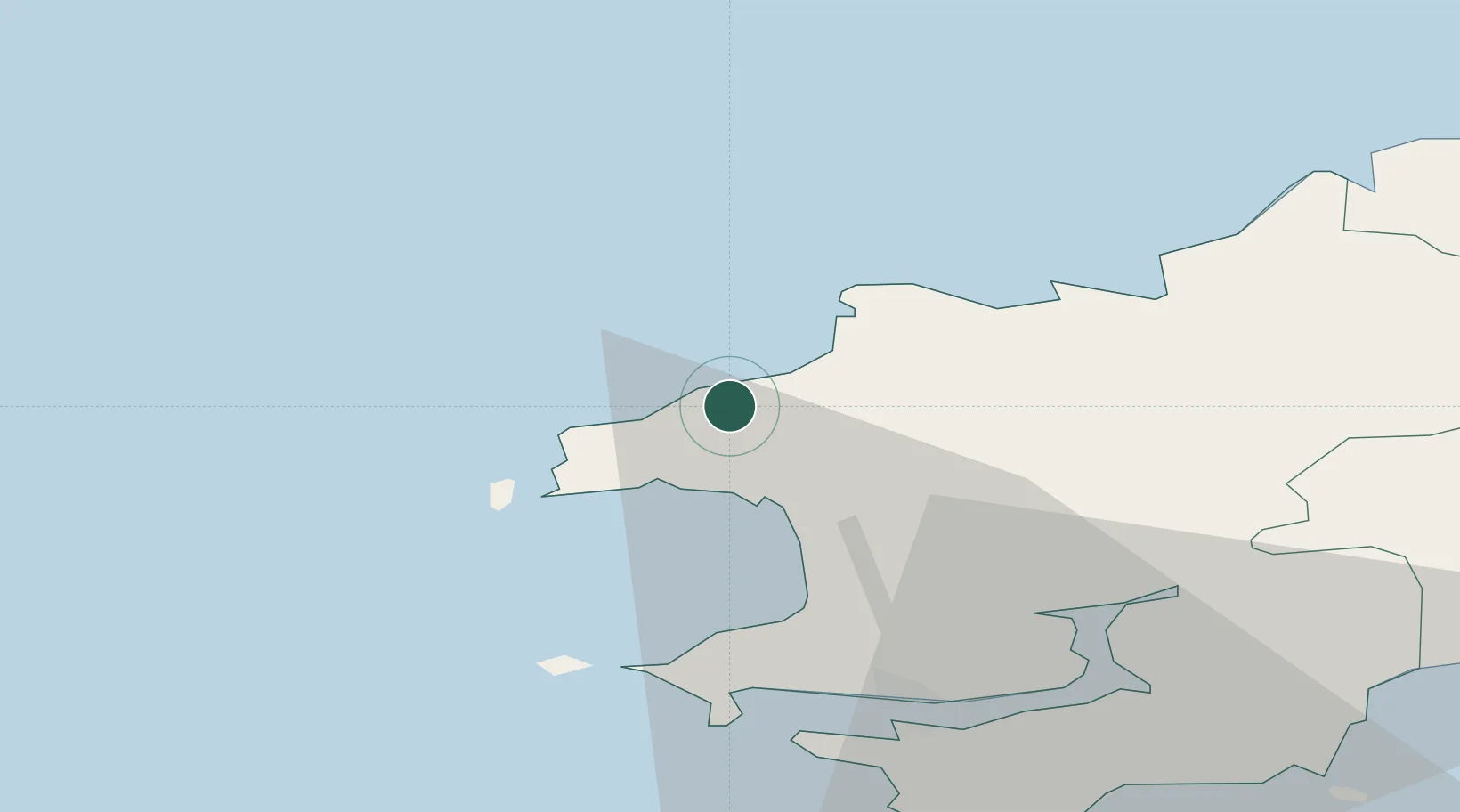
Hub Profile
Place type
Populated place
Region
Wales
Time zone
Europe/London
Elevation
16 m
Location
Nearby Logistics Neighbours
Cities
- 1Abercastle4 km
- 2Solva (Solfach)8 km
- 3Tyddewi (St David's)8 km
- 4Saint David's9 km
- 5Fishguard15 km
Ports
- 1Fishguard16 km
- 2Milford Haven26 km
- 3Rosslare87 km
- 4Swansea91 km
- 5Neath98 km
Airports
- 1Haverfordwest Airport18 km
- 2Swansea Airport84 km
- 3Lundy Island Helipad92 km
- 4Hartland Point Heliport111 km
- 5Royal Marines Base Chivenor118 km
Trade Zones
DatabookThe Record of Consolidated Knowledge
United Kingdom beyond logistics?