Transport Functions
Port
Road
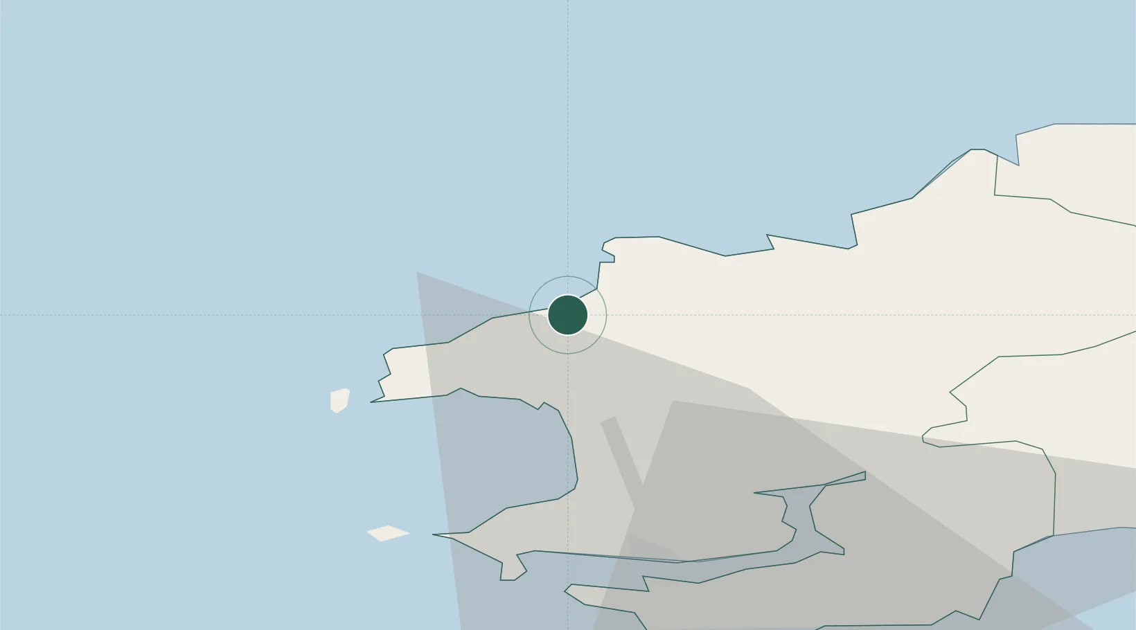
Hub Profile
Place type
Populated place
Region
Wales
Time zone
Europe/London
Elevation
23 m
Location
Nearby Logistics Neighbours
Cities
- 1Porthgain4 km
- 2Solva (Solfach)10 km
- 3Fishguard11 km
- 4Tyddewi (St David's)12 km
- 5Saint David's13 km
Ports
- 1Fishguard12 km
- 2Milford Haven27 km
- 3Swansea88 km
- 4Rosslare90 km
- 5Neath95 km
Airports
- 1Haverfordwest Airport17 km
- 2Swansea Airport82 km
- 3Lundy Island Helipad93 km
- 4Hartland Point Heliport112 km
- 5Royal Marines Base Chivenor117 km
Trade Zones
DatabookThe Record of Consolidated Knowledge
United Kingdom beyond logistics?