Transport Functions
Multimodal
Hub Profile
Place type
Populated place
Region
Wales
Time zone
Europe/London
Elevation
92 m
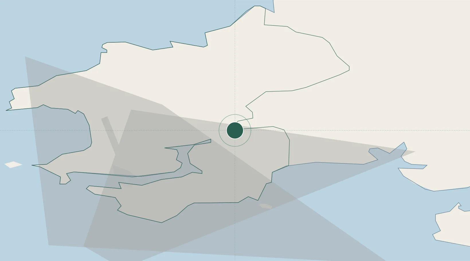
Location
Nearby Logistics Neighbours
Cities
- 1Clynderwen5 km
- 2Kilgetty10 km
- 3Broadmoor11 km
- 4Saundersfoot13 km
- 5Tenby (Dinbych-y-pysgod)17 km
Ports
- 1Milford Haven22 km
- 2Fishguard27 km
- 3Swansea61 km
- 4Neath67 km
- 5Port Talbot70 km
Airports
- 1Haverfordwest Airport14 km
- 2Swansea Airport54 km
- 3Lundy Island Helipad73 km
- 4Hartland Point Heliport90 km
- 5Royal Marines Base Chivenor92 km
Trade Zones
DatabookThe Record of Consolidated Knowledge
United Kingdom beyond logistics?