Transport Functions
Port
Hub Profile
Region
ZET
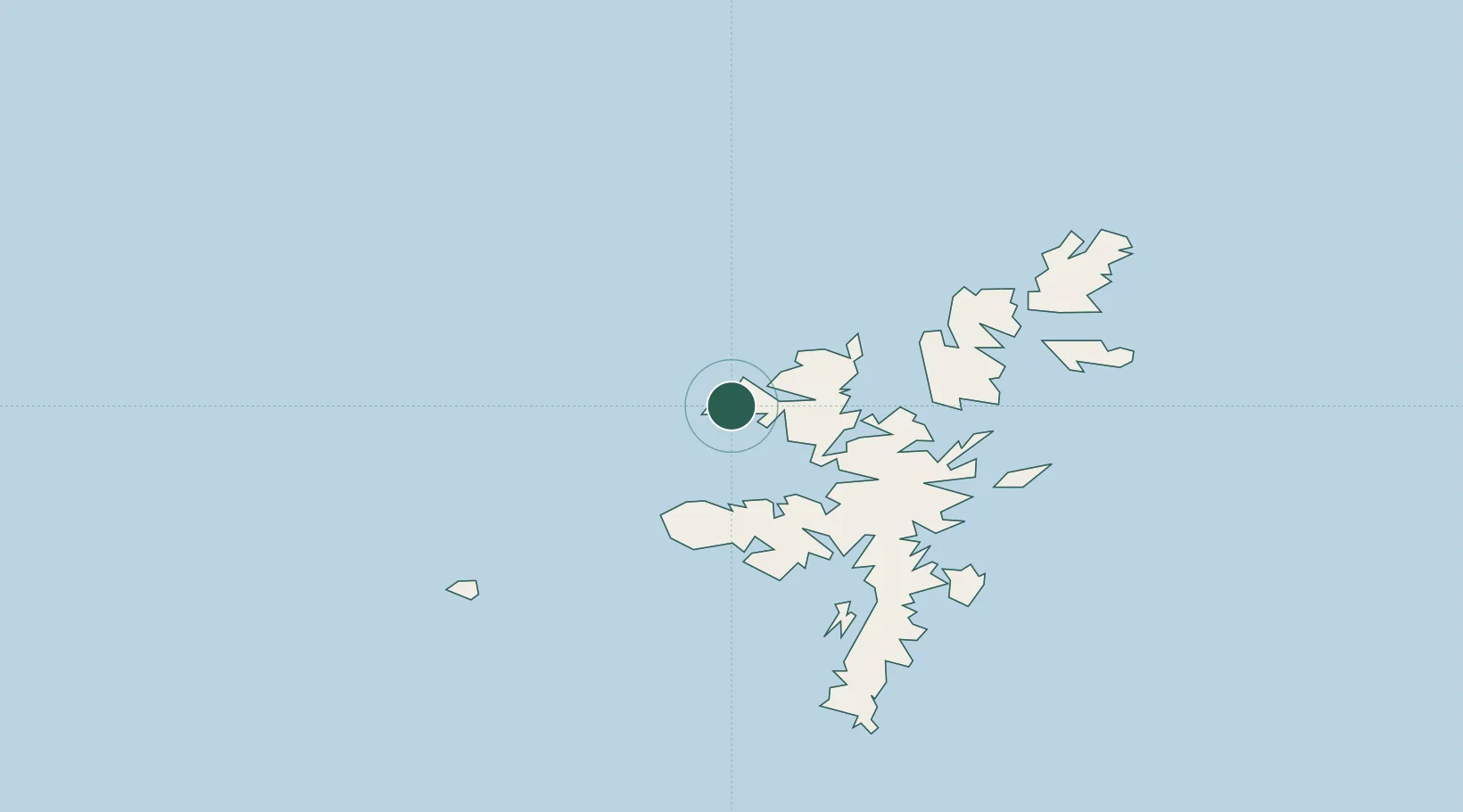
Location
Nearby Logistics Neighbours
Cities
- 1Collafirth11 km
- 2Sullom Voe14 km
- 3North Roe to Hillswick15 km
- 4Shetland19 km
- 5Toft Shetland19 km
Ports
- 1Sullom Voe14 km
- 2Lerwick43 km
- 3Scalloway43 km
- 4Kettletoft153 km
- 5Pierowall154 km
Airports
- 1Lerwick / Tingwall Airport38 km
- 2Foula Airfield50 km
- 3Sumburgh Airport71 km
- 4Fair Isle Airport107 km
- 5North Ronaldsay Airport135 km
Trade Zones
DatabookThe Record of Consolidated Knowledge
United Kingdom beyond logistics?