UN/LOCODE hub · United Kingdom
GBDEC
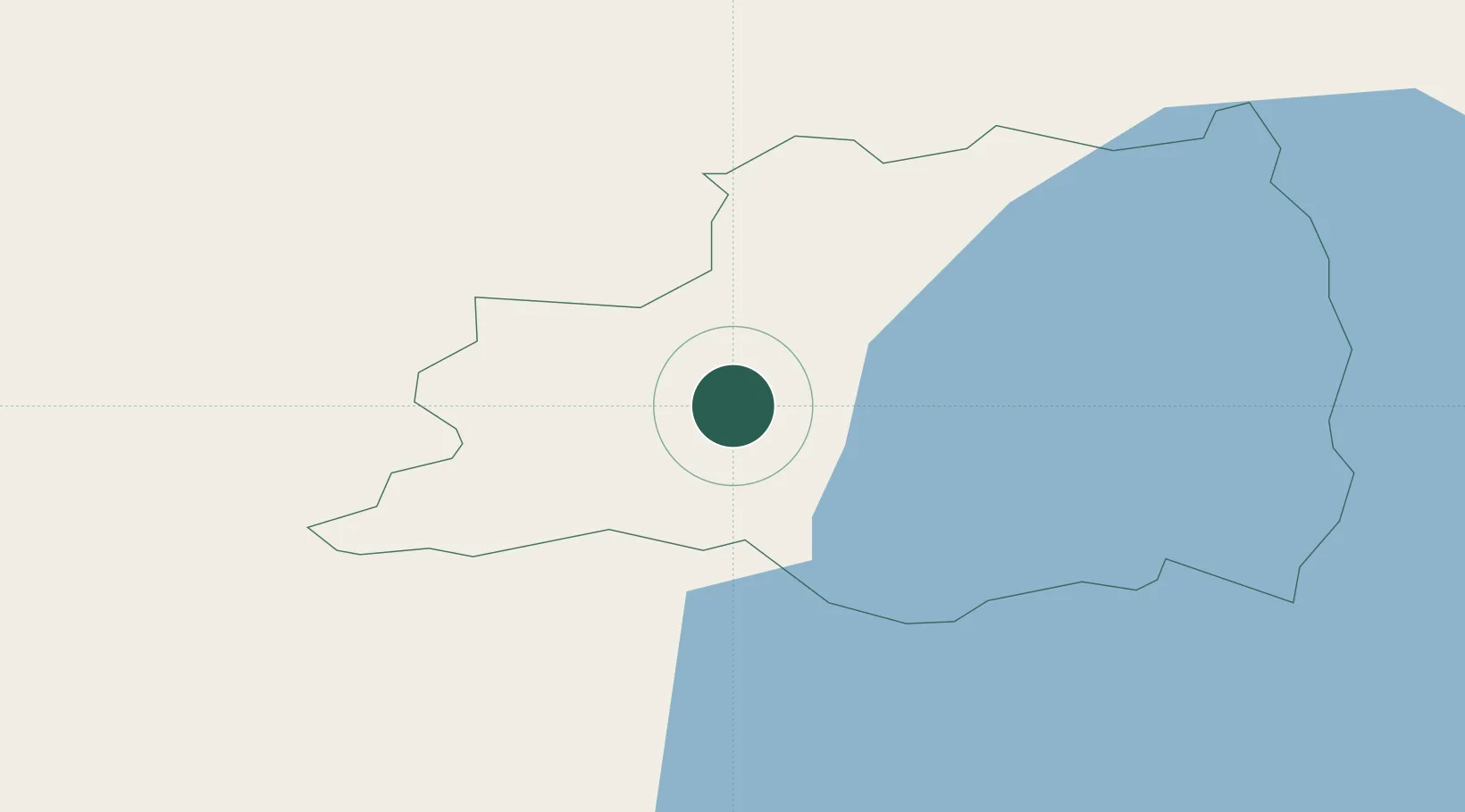
Draperstown
54.8000°, -6.7667°
1,734
Population
1
Transport functions
Transport Functions
Multimodal
Hub Profile
Place type
Populated place
Region
Northern Ireland
Population
1,734
Time zone
Europe/London
Elevation
73 m
Location
Nearby Logistics Neighbours
Cities
- 1Loughgall21 km
- 2Garvagh21 km
- 3Donaghmore30 km
- 4Comber37 km
- 5Maydown39 km
Ports
- 1Coleraine38 km
- 2Londonderry42 km
- 3Rathmullan59 km
- 4Belfast59 km
- 5Larne62 km
Airports
Trade Zones
DatabookThe Record of Consolidated Knowledge
United Kingdom beyond logistics?