UN/LOCODE hub · United Kingdom
GBCTE
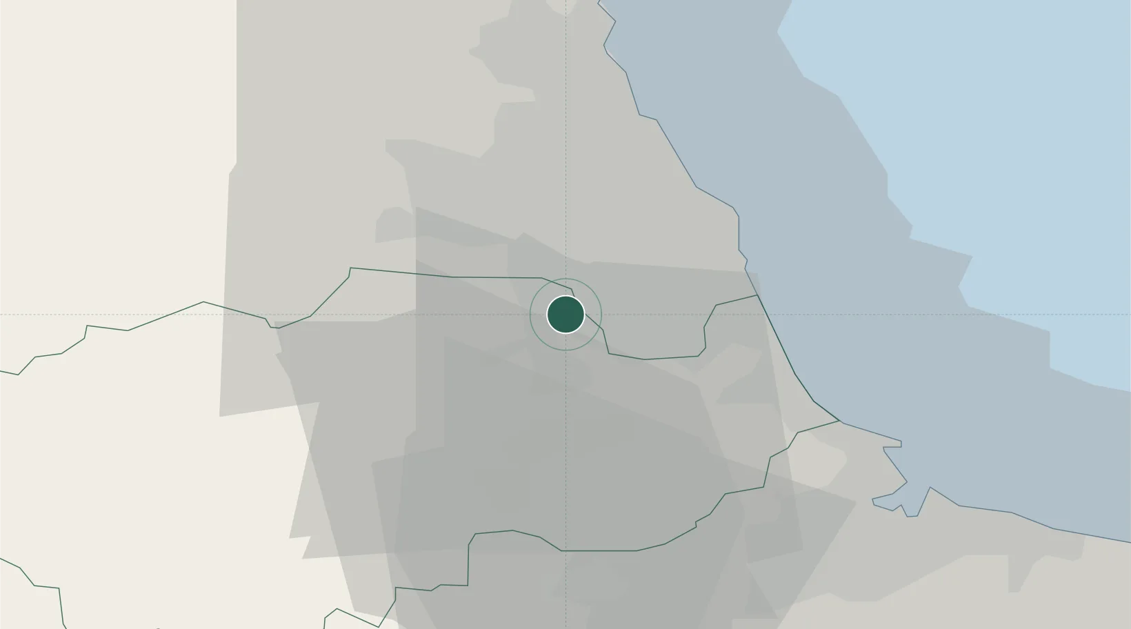
Chester-le-Street
54.8500°, -1.5667°
36,917
Population
2
Transport functions
Transport Functions
Rail
Road
Hub Profile
Place type
Populated place
Region
England
Population
36,917
Time zone
Europe/London
Elevation
13 m
Location
Nearby Logistics Neighbours
Cities
- 1Gateshead10 km
- 2Team Valley/Gateshead10 km
- 3Brandon12 km
- 4Dunston12 km
- 5Sunderland13 km
Ports
- 1Sunderland15 km
- 2Seaham16 km
- 3Tynemouth20 km
- 4Hartlepool30 km
- 5Blyth30 km
Airports
- 1Newcastle International Airport22 km
- 2Teesside International Airport39 km
- 3RAF Leeming62 km
- 4RAF Spadeadam67 km
- 5RAF Topcliffe73 km
Trade Zones
DatabookThe Record of Consolidated Knowledge
United Kingdom beyond logistics?