UN/LOCODE hub · United Kingdom
GBSUN
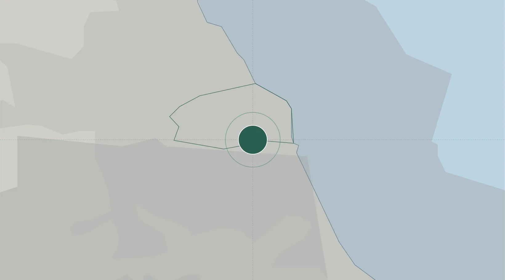
Sunderland
54.9218°, -1.4166°
170,134
Population
1
Transport functions
Transport Functions
Port
Hub Profile
Place type
Provincial seat
Region
England
Population
170,134
Time zone
Europe/London
Elevation
36 m
Logistics facilities
1
Location
Nearby Logistics Neighbours
Cities
- 1South Shields7 km
- 2Jarrow7 km
- 3Monkton7 km
- 4Howdon8 km
- 5Hebburn8 km
Ports
- 1Tynemouth9 km
- 2Seaham12 km
- 3Blyth22 km
- 4Hartlepool29 km
- 5Teesport35 km
Airports
- 1Newcastle International Airport22 km
- 2Teesside International Airport46 km
- 3RAF Leeming70 km
- 4RAF Spadeadam74 km
- 5RAF Topcliffe80 km
Trade Zones
DatabookThe Record of Consolidated Knowledge
United Kingdom beyond logistics?