UN/LOCODE hub · United Kingdom
GBGAT
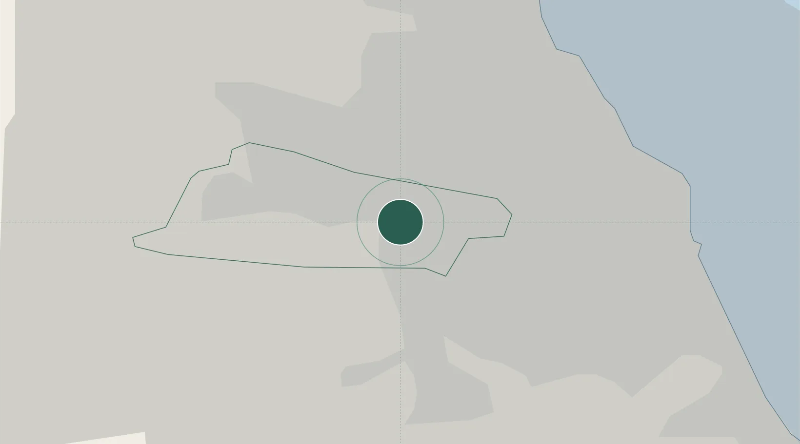
Gateshead
54.9333°, -1.6167°
77,649
Population
1
Transport functions
Transport Functions
Port
Hub Profile
Place type
Provincial seat
Region
England
Population
77,649
Time zone
Europe/London
Elevation
53 m
Location
Nearby Logistics Neighbours
Cities
- 1Team Valley/Gateshead1 km
- 2Dunston3 km
- 3Newcastle upon Tyne3 km
- 4Walker7 km
- 5Hebburn7 km
Ports
- 1Tynemouth16 km
- 2Sunderland16 km
- 3Blyth22 km
- 4Seaham22 km
- 5Hartlepool38 km
Airports
- 1Newcastle International Airport13 km
- 2Teesside International Airport49 km
- 3RAF Spadeadam61 km
- 4RAF Leeming71 km
- 5Carlisle Lake District Airport76 km
Trade Zones
DatabookThe Record of Consolidated Knowledge
United Kingdom beyond logistics?