Transport Functions
Port
Hub Profile
Place type
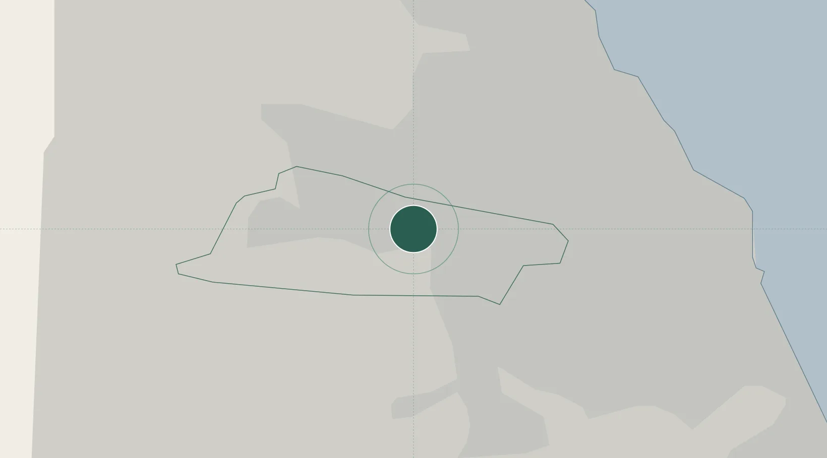
Populated place
Region
England
Time zone
Europe/London
Elevation
26 m
Location
Nearby Logistics Neighbours
Cities
- 1Newcastle upon Tyne2 km
- 2Team Valley/Gateshead3 km
- 3Gateshead3 km
- 4Ryton7 km
- 5Walker7 km
Ports
- 1Tynemouth17 km
- 2Sunderland19 km
- 3Blyth21 km
- 4Seaham25 km
- 5Hartlepool41 km
Airports
- 1Newcastle International Airport10 km
- 2Teesside International Airport51 km
- 3RAF Spadeadam59 km
- 4RAF Leeming73 km
- 5Carlisle Lake District Airport74 km
Trade Zones
DatabookThe Record of Consolidated Knowledge
United Kingdom beyond logistics?