Transport Functions
Rail
Road
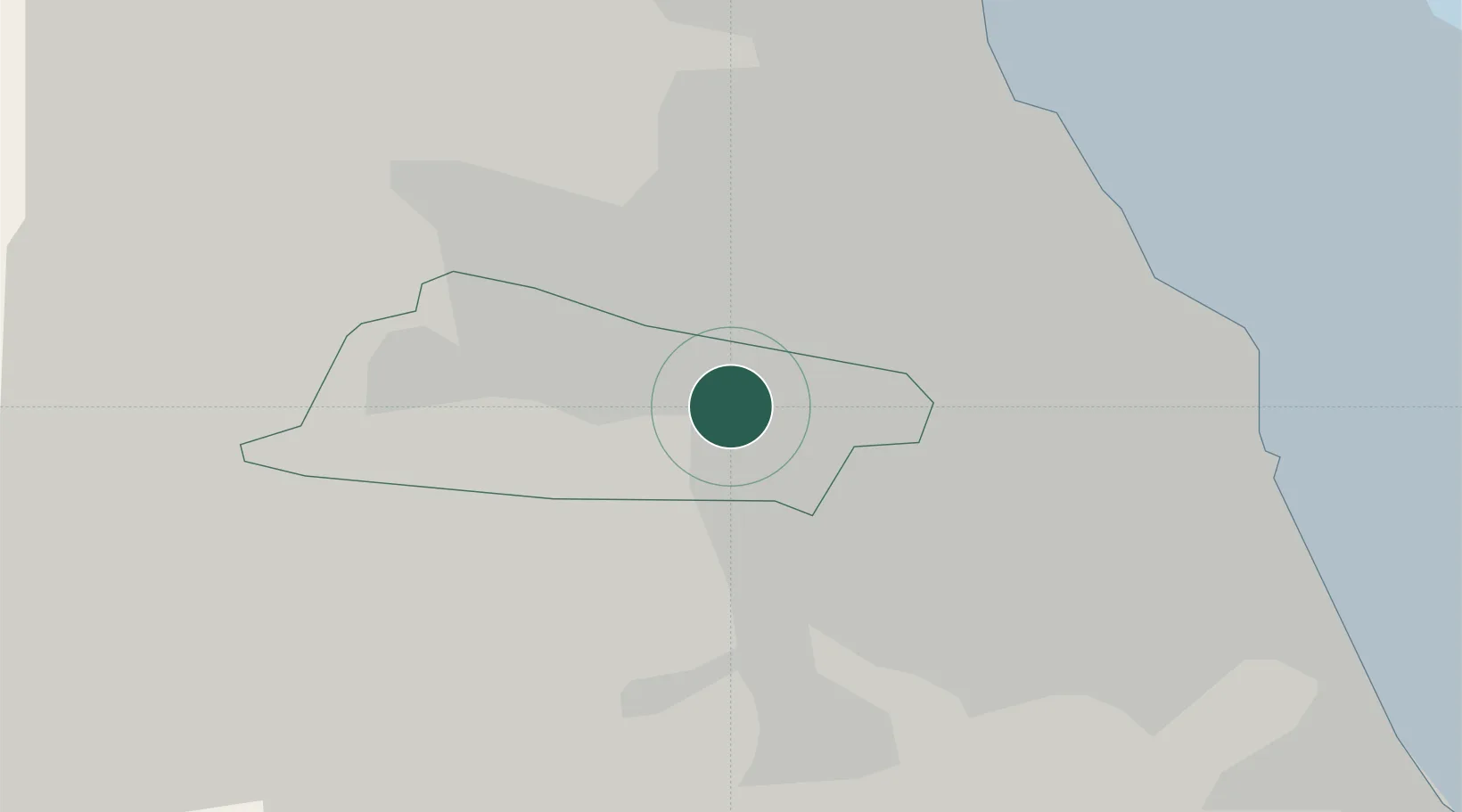
Hub Profile
Region
GAT
Logistics facilities
1
Location
Nearby Logistics Neighbours
Cities
- 1Gateshead1 km
- 2Dunston3 km
- 3Newcastle upon Tyne3 km
- 4Walker7 km
- 5Hebburn7 km
Ports
- 1Tynemouth15 km
- 2Sunderland16 km
- 3Blyth21 km
- 4Seaham22 km
- 5Hartlepool38 km
Airports
- 1Newcastle International Airport12 km
- 2Teesside International Airport49 km
- 3RAF Spadeadam61 km
- 4RAF Leeming71 km
- 5Carlisle Lake District Airport76 km
Trade Zones
DatabookThe Record of Consolidated Knowledge
United Kingdom beyond logistics?