Transport Functions
Rail
Road
Airport
Hub Profile
Place type
Populated place
Region
England
Population
9,566
Time zone
Europe/London
Elevation
87 m
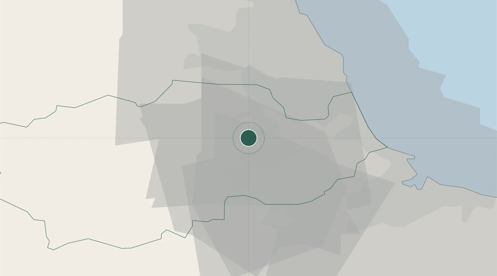
Location
Nearby Logistics Neighbours
Cities
- 1Crook9 km
- 2Chester-le-Street12 km
- 3Thornley12 km
- 4Chilton12 km
- 5West Auckland15 km
Ports
- 1Seaham21 km
- 2Sunderland25 km
- 3Hartlepool28 km
- 4Tynemouth31 km
- 5Teesport33 km
Airports
- 1Teesside International Airport29 km
- 2Newcastle International Airport32 km
- 3RAF Leeming51 km
- 4RAF Topcliffe63 km
- 5RAF Spadeadam68 km
Trade Zones
DatabookThe Record of Consolidated Knowledge
United Kingdom beyond logistics?