UN/LOCODE hub · United Kingdom
GBTPO
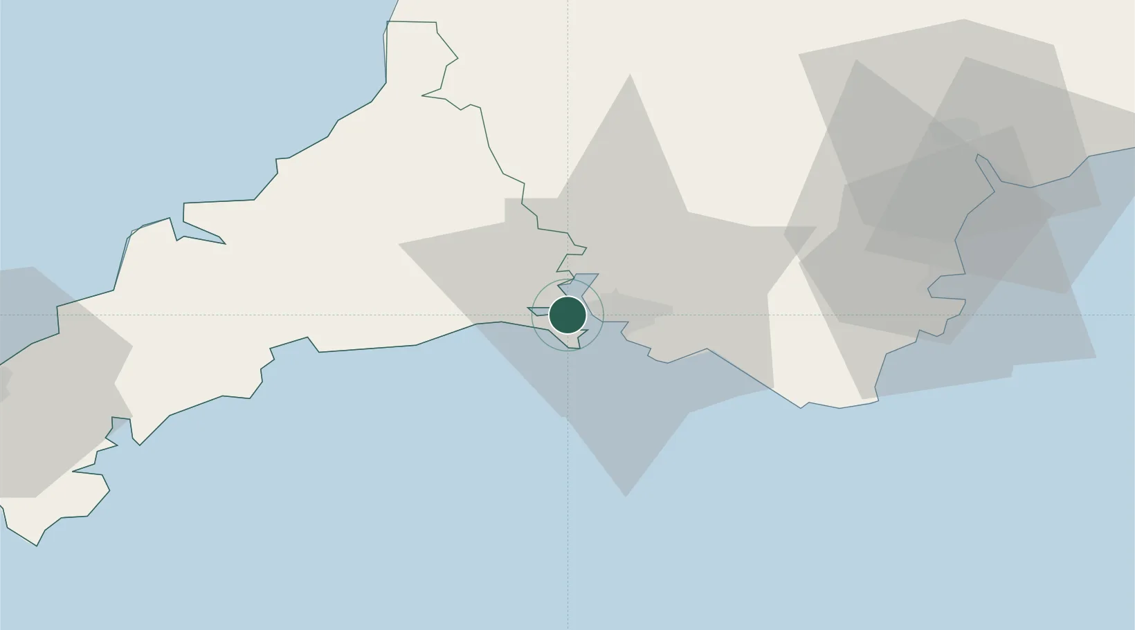
Torpoint
50.3833°, -4.2167°
7,717
Population
3
Transport functions
Transport Functions
Port
Road
Multimodal
Hub Profile
Place type
Populated place
Region
England
Population
7,717
Time zone
Europe/London
Elevation
14 m
Location
Nearby Logistics Neighbours
Cities
- 1Devonport3 km
- 2Plymouth10 km
- 3Walkhampton11 km
- 4Plympton12 km
- 5Cawsand12 km
Ports
- 1Plymouth5 km
- 2Fowey Harbour30 km
- 3Par35 km
- 4Charlestown38 km
- 5Mevagissey42 km
Airports
- 1Cornwall Airport Newquay56 km
- 2Exeter International Airport69 km
- 3Hartland Point Heliport74 km
- 4Royal Marines Base Chivenor78 km
- 5RNAS Culdrose81 km
Trade Zones
DatabookThe Record of Consolidated Knowledge
United Kingdom beyond logistics?