UN/LOCODE hub · United Kingdom
GBWHE
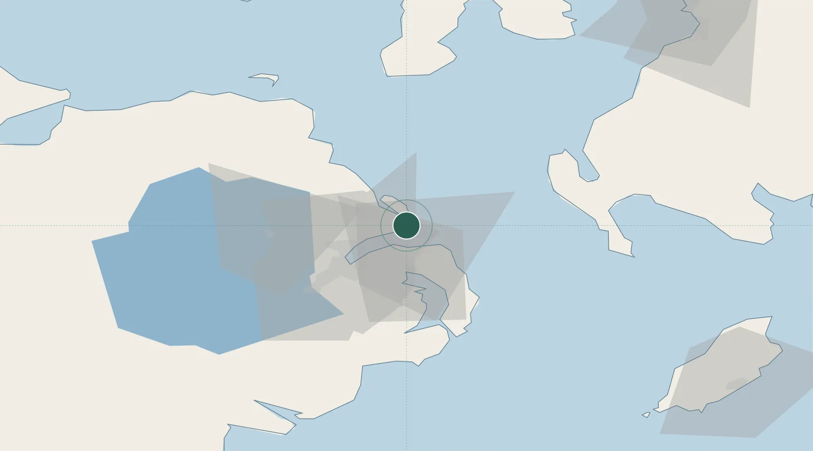
Whitehead
54.7500°, -5.7000°
3,697
Population
3
Transport functions
Transport Functions
Port
Rail
Road
Hub Profile
Place type
Populated place
Region
Northern Ireland
Population
3,697
Time zone
Europe/London
Elevation
12 m
Location
Nearby Logistics Neighbours
Cities
- 1Acharacle6 km
- 2Islandmagee7 km
- 3Cloghan Point/Carrickfergus9 km
- 4Ballylumford11 km
- 5Groomsport11 km
Airports
- 1George Best Belfast City Airport18 km
- 2Belfast International Airport35 km
- 3Campbeltown Airport76 km
- 4City of Derry Airport99 km
- 5Isle of Man Airport102 km
Trade Zones
DatabookThe Record of Consolidated Knowledge
United Kingdom beyond logistics?