Transport Functions
Port
Road
Hub Profile
Place type
Populated place
Region
Scotland
Time zone
Europe/London
Elevation
9 m
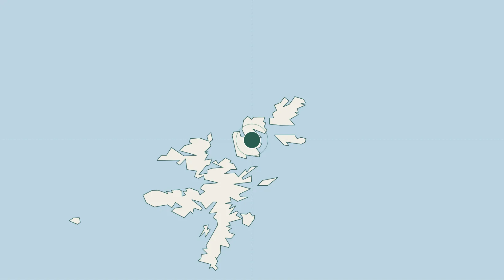
Location
Nearby Logistics Neighbours
Cities
- 1Hamars Ness, Fetlar8 km
- 2Gutcher, Yell8 km
- 3Oddsta, Fetlar8 km
- 4Belmont, Unst11 km
- 5Shetland11 km
Ports
- 1Sullom Voe20 km
- 2Lerwick48 km
- 3Scalloway53 km
- 4Kettletoft174 km
- 5Pierowall178 km
Airports
- 1Lerwick / Tingwall Airport46 km
- 2Foula Airfield76 km
- 3Sumburgh Airport81 km
- 4Fair Isle Airport123 km
- 5North Ronaldsay Airport157 km
Trade Zones
DatabookThe Record of Consolidated Knowledge
United Kingdom beyond logistics?