Transport Functions
Port
Road
Hub Profile
Place type
Populated place
Region
Scotland
Time zone
Europe/London
Elevation
38 m
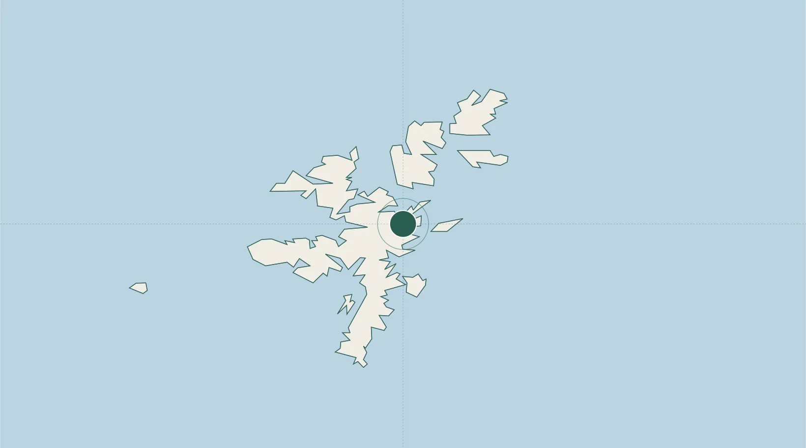
Location
Nearby Logistics Neighbours
Cities
- 1Laxo4 km
- 2Symbister7 km
- 3Voe7 km
- 4Central Mainland (Shetland)9 km
- 5Toft Shetland12 km
Ports
- 1Sullom Voe14 km
- 2Lerwick22 km
- 3Scalloway27 km
- 4Kettletoft150 km
- 5Pierowall156 km
Airports
- 1Lerwick / Tingwall Airport20 km
- 2Sumburgh Airport55 km
- 3Foula Airfield58 km
- 4Fair Isle Airport97 km
- 5North Ronaldsay Airport133 km
Trade Zones
DatabookThe Record of Consolidated Knowledge
United Kingdom beyond logistics?