Transport Functions
Port
Rail
Road
Multimodal
Hub Profile
Region
LEC
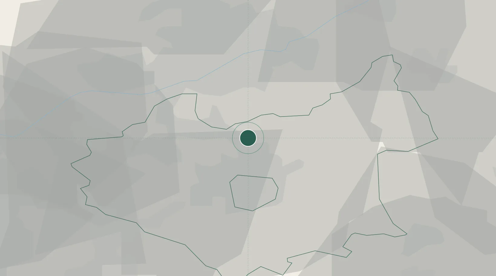
Location
Nearby Logistics Neighbours
Cities
- 1Normanton on Soar9 km
- 2Birstall9 km
- 3Kegworth14 km
- 4Markfield14 km
- 5Leicester15 km
Ports
- 1Boston79 km
- 2Wisbech87 km
- 3King's Lynn103 km
- 4Goole108 km
- 5Howdendyke111 km
Airports
- 1East Midlands Airport16 km
- 2Nottingham City Airport19 km
- 3RAF Barkston Heath45 km
- 4RAF Wittering47 km
- 5Coventry Airport48 km
Trade Zones
DatabookThe Record of Consolidated Knowledge
United Kingdom beyond logistics?