UN/LOCODE hub · United Kingdom
GBMFL
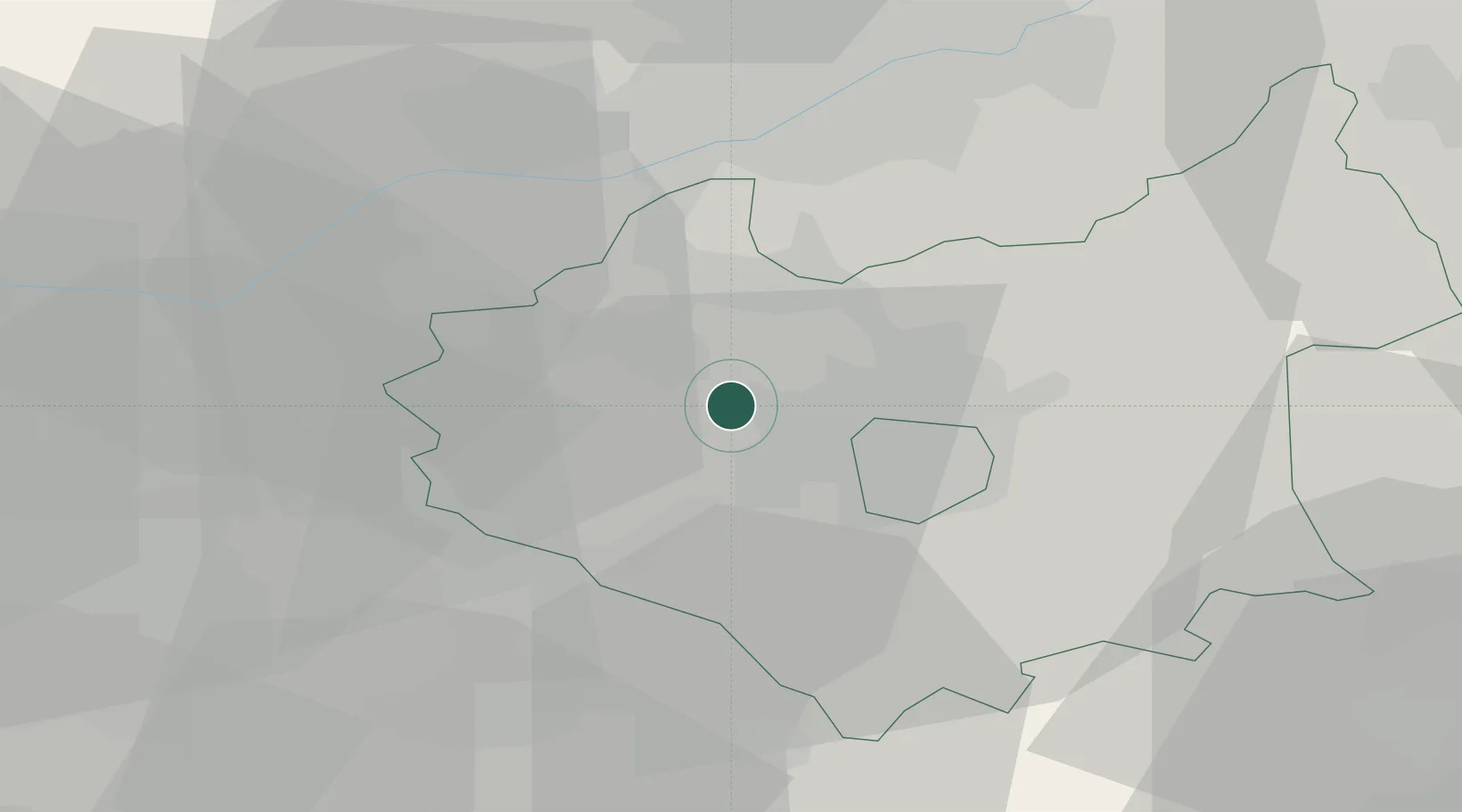
Markfield
52.6667°, -1.2833°
4,993
Population
1
Transport functions
Transport Functions
Multimodal
Hub Profile
Place type
Populated place
Region
England
Population
4,993
Time zone
Europe/London
Elevation
179 m
Location
Nearby Logistics Neighbours
Cities
- 1Bagworth4 km
- 2Leicester5 km
- 3Bardon Hill5 km
- 4Ellistown7 km
- 5Normanton le Heath11 km
Ports
- 1Boston91 km
- 2Wisbech97 km
- 3Manchester112 km
- 4King's Lynn114 km
- 5Goole119 km
Airports
- 1East Midlands Airport19 km
- 2Nottingham City Airport31 km
- 3Coventry Airport36 km
- 4Birmingham Airport39 km
- 5RAF Wittering55 km
Trade Zones
DatabookThe Record of Consolidated Knowledge
United Kingdom beyond logistics?