Medium airport · United Kingdom
RAF WitteringEGXT
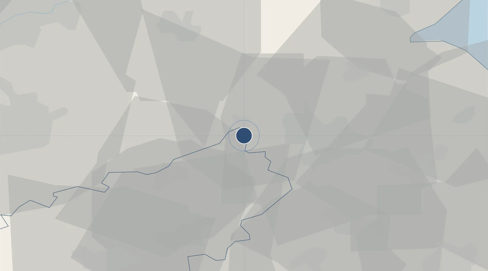
52.6126°, -0.4765°
9,052 ft
Longest runway
1
Runways
273 ft
Elevation
Runway & Layout

Radio Frequencies
ATIS
242.47 MHz
TWR
125.525 MHz
TWR
372.22 MHz
GND
369.22 MHz
APP
130.2 MHz
DEP
278.45 MHz
DEP/DIR
CAC
29.997 MHz
LONDON MIL
GRN
125.525 MHz
Navaids
WIT TACAN Wittering 117.60 MHz
Runways · 1
| Runway | Dimensions | Surface | True heading | Lit |
|---|---|---|---|---|
| 07/25 | 9,052 × 200ft | Asphalt | 074° | ✓ |
Airport Specifications
ICAO code
EGXT
Airport class
Medium airport
Scheduled service
No
Runway surface
Asphalt
Served city
Peterborough, Cambridgeshire
Location
Nearby Logistics Neighbours
Airports
- 1RAF Barkston Heath39 km
- 2RAF Cranwell46 km
- 3Nottingham City Airport53 km
- 4RAF Coningsby57 km
- 5Cranfield Airport61 km
Ports
- 1Wisbech43 km
- 2Boston50 km
- 3King's Lynn61 km
- 4Grimsby111 km
- 5Immingham115 km
DatabookThe Record of Consolidated Knowledge
United Kingdom beyond logistics?