UN/LOCODE hub · United Kingdom
GBLCS
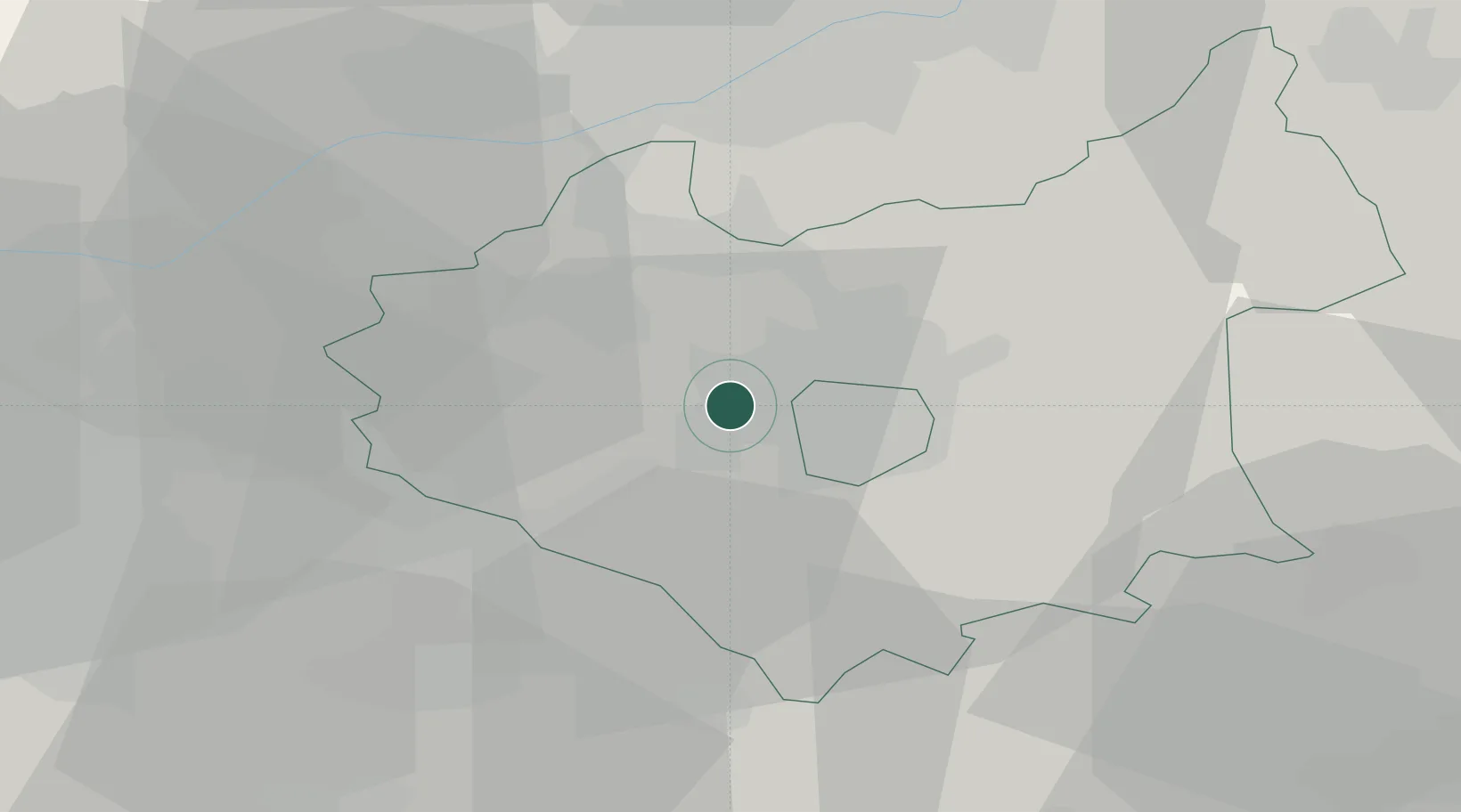
Leicester
52.6342°, -1.2326°
368,600
Population
1
Transport functions
Transport Functions
Port
Hub Profile
Place type
Provincial seat
Region
England
Population
368,600
Time zone
Europe/London
Elevation
65 m
Logistics facilities
2
Location
Nearby Logistics Neighbours
Ports
- 1Boston90 km
- 2Wisbech93 km
- 3King's Lynn111 km
- 4Manchester117 km
- 5Goole122 km
Airports
- 1East Midlands Airport23 km
- 2Nottingham City Airport33 km
- 3Coventry Airport34 km
- 4Birmingham Airport40 km
- 5RAF Wittering51 km
DatabookThe Record of Consolidated Knowledge
United Kingdom beyond logistics?