UN/LOCODE hub · United Kingdom
GBBIT
Birstall
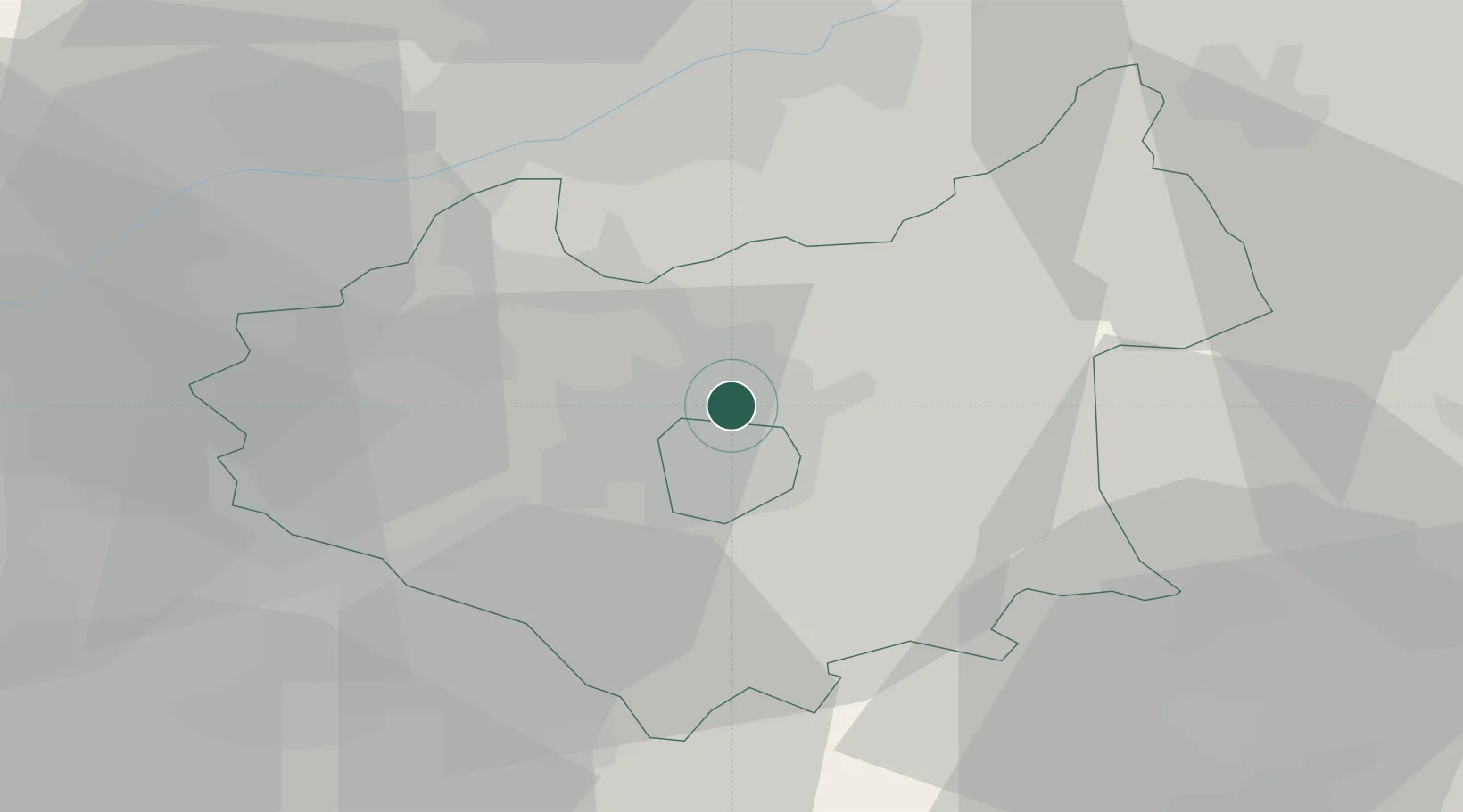
52.6667°, -1.1167°
12,216
Population
2
Transport functions
Transport Functions
Rail
Road
Hub Profile
Place type
Populated place
Region
England
Population
12,216
Time zone
Europe/London
Elevation
55 m
Location
Nearby Logistics Neighbours
Cities
- 1Aylestone8 km
- 2Leicester9 km
- 3Barrow On Soar9 km
- 4Markfield11 km
- 5Hethel14 km
Ports
- 1Boston81 km
- 2Wisbech85 km
- 3King's Lynn103 km
- 4Goole116 km
- 5Manchester119 km
Airports
- 1East Midlands Airport23 km
- 2Nottingham City Airport28 km
- 3Coventry Airport41 km
- 4RAF Wittering44 km
- 5Birmingham Airport49 km
DatabookThe Record of Consolidated Knowledge
United Kingdom beyond logistics?