UN/LOCODE hub · United Kingdom
GBKWO
Kegworth
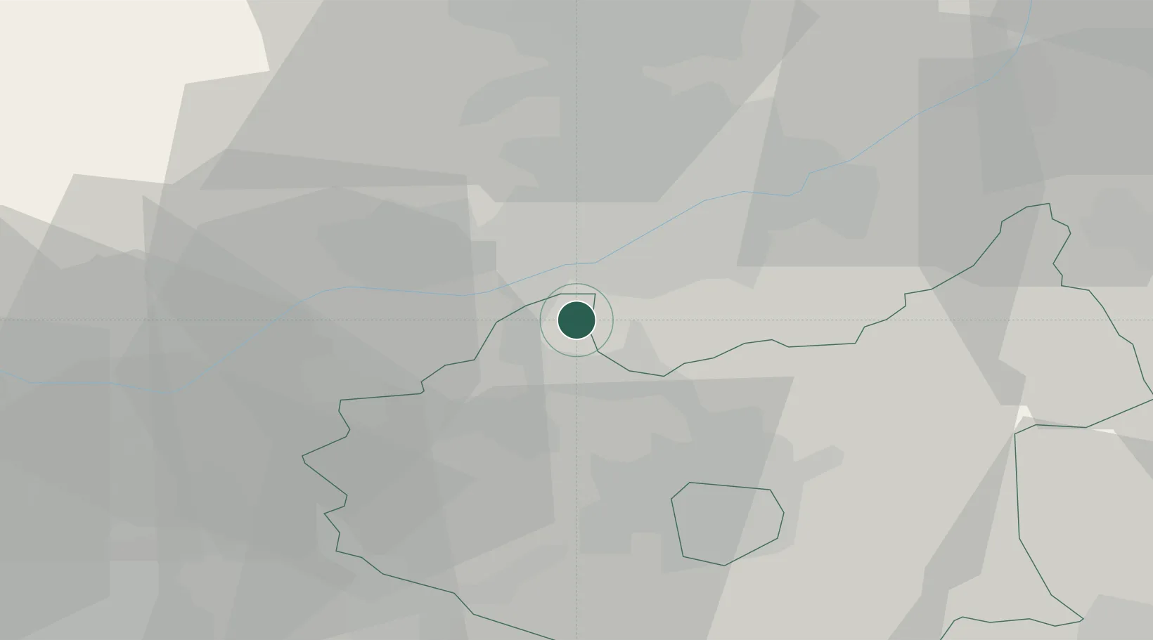
52.8333°, -1.2833°
3,601
Population
3
Transport functions
Transport Functions
Rail
Road
Multimodal
Hub Profile
Place type
Populated place
Region
England
Population
3,601
Time zone
Europe/London
Elevation
49 m
Location
Nearby Logistics Neighbours
Cities
- 1Normanton on Soar5 km
- 2Melbourne10 km
- 3Ruddington11 km
- 4Barrow upon Trent13 km
- 5Barrow On Soar14 km
Ports
- 1Boston86 km
- 2Manchester98 km
- 3Wisbech98 km
- 4Goole101 km
- 5Howdendyke104 km
Airports
- 1East Midlands Airport3 km
- 2Nottingham City Airport17 km
- 3RAF Barkston Heath51 km
- 4Birmingham Airport53 km
- 5Coventry Airport53 km
Trade Zones
DatabookThe Record of Consolidated Knowledge
United Kingdom beyond logistics?