Medium airport · United Kingdom

Coventry AirportEGBE
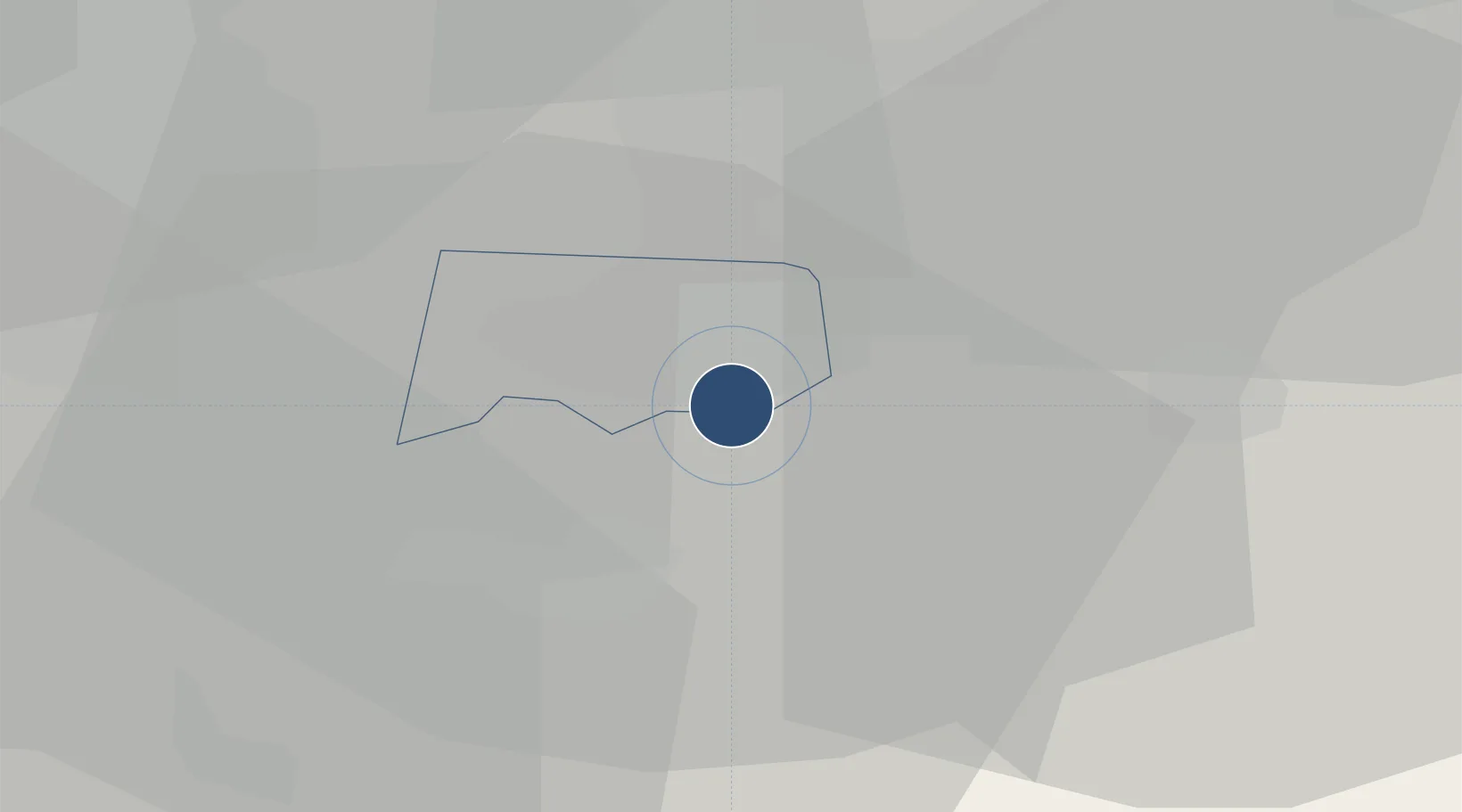
52.3697°, -1.4797°
5,988 ft
Longest runway
1
Runways
267 ft
Elevation

Runway & Layout

Coventry Airport runway & taxiway layout
Runway & taxiway layout — OpenStreetMap (ODbL) / OurAirports

Radio Frequencies

AFIS
123.83 MHz
Coventry Infromation
FIRE
121.6 MHz
Coventry Fire
OurAirports

Runways · 1

RunwayDimensions SurfaceTrue headingLit
05/23 5,988 × 151ft Asphalt 047°
OurAirports

Airport Specifications

IATA code
CVT
OurAirports
ICAO code
EGBE
OurAirports
Airport class
Medium airport
OurAirports
Scheduled service
No
OurAirports
Runway surface
Asphalt
OurAirports
Served city
Coventry, West Midlands
OurAirports

Location

Location of EGBE
Natural Earth 10m (public domain) · Coventry · EGBE · 52.37, -1.48GoogleOSMYandex

Nearby Logistics Neighbours

Airports
  1. 1Birmingham Airport21 km
  2. 2East Midlands Airport52 km
  3. 3London Oxford Airport60 km
  4. 4RAF Cosford64 km
  5. 5Nottingham City Airport67 km
Nearest neighbours — logibook spatial index (haversine) over the source coordinates
Cities
  1. 1Walsgrave on Sowe6 km
  2. 2Coventry7 km
  3. 3Leamington9 km
  4. 4Church Lawford11 km
  5. 5Barnacle11 km
Nearest neighbours — logibook spatial index (haversine) over the source coordinates
Ports
  1. 1Sharpness100 km
  2. 2Wisbech115 km
  3. 3Boston119 km
  4. 4Bristol128 km
  5. 5Avonmouth129 km
Nearest neighbours — logibook spatial index (haversine) over the source coordinates
Trade Zones
  1. 1Mira Technology Park21 km
  2. 2Birmingham City Centre Enterprise Zone32 km
  3. 3Loughborough Leicester Enterprise Zone38 km
  4. 4Northampton Waterside Enterprise Zone42 km
  5. 5Black Country Enterprise Zone46 km
Nearest neighbours — logibook spatial index (haversine) over the source coordinates
DatabookThe Record of Consolidated Knowledge
United Kingdom beyond logistics?
Browse databook

All Sources

AirportsOurAirports
Public domain
Portsthe NGA World Port Index
Public domain (US gov)
LocationsUN/LOCODE
UN/LOCODE — free
Trade Zonesthe World Bank SEZ database
CC BY 4.0
Trade ZonesOpen Zone Map
CC BY
InfrastructureOpenStreetMap
ODbL 1.0
← United Kingdom airports