Transport Functions
Rail
Road
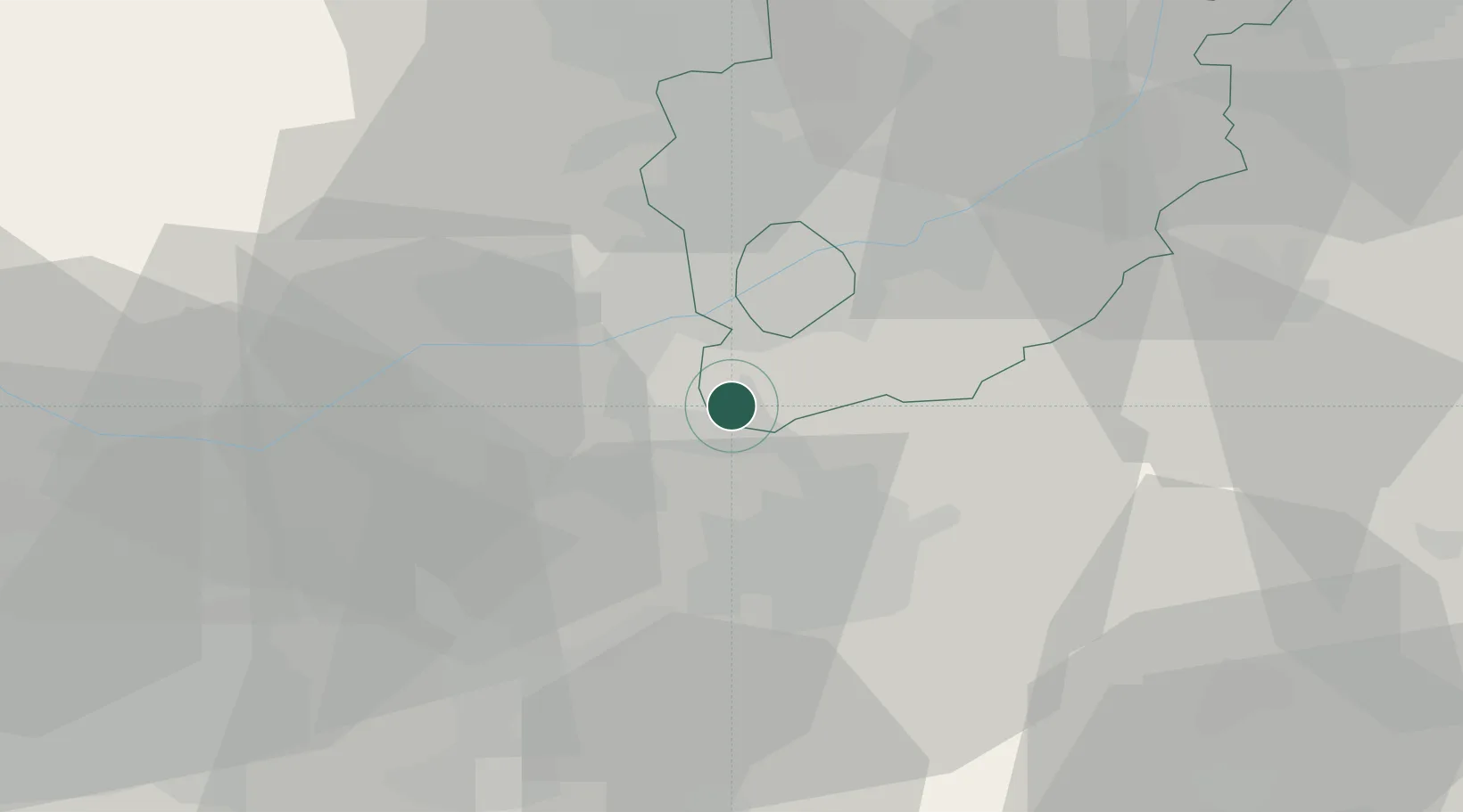
Hub Profile
Place type
Populated place
Region
England
Time zone
Europe/London
Elevation
41 m
Location
Nearby Logistics Neighbours
Cities
- 1Kegworth5 km
- 2Barrow On Soar9 km
- 3Ruddington11 km
- 4Bardon Hill13 km
- 5Melbourne14 km
Ports
- 1Boston84 km
- 2Wisbech94 km
- 3Manchester103 km
- 4Goole104 km
- 5Howdendyke106 km
Airports
- 1East Midlands Airport7 km
- 2Nottingham City Airport17 km
- 3RAF Barkston Heath49 km
- 4Coventry Airport51 km
- 5Birmingham Airport52 km
Trade Zones
DatabookThe Record of Consolidated Knowledge
United Kingdom beyond logistics?