UN/LOCODE hub · United Kingdom
GBBHJ
Bramshall
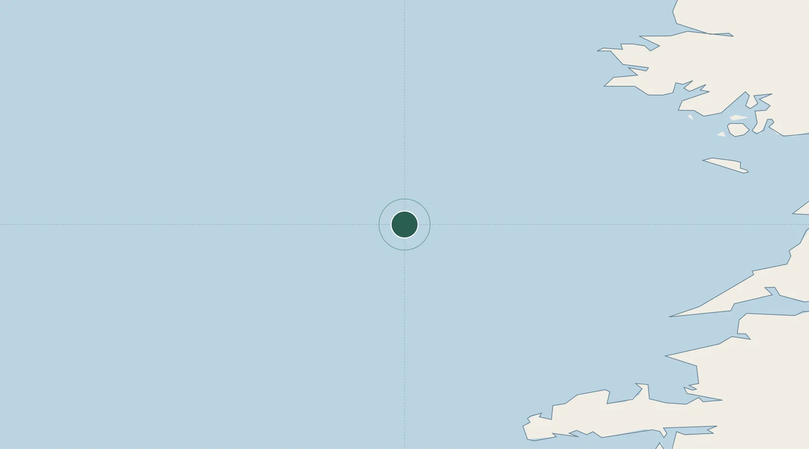
52.9000°, -10.9167°
656
Population
2
Transport functions
Transport Functions
Port
Multimodal
Hub Profile
Place type
Populated place
Region
England
Population
656
Time zone
Europe/London
Elevation
135 m
Location
Nearby Logistics Neighbours
Cities
- 1Chipping Warden78 km
- 2Wedlenstedt80 km
- 3Ballydavid85 km
- 4Kilronan87 km
- 5Kilkieran92 km
Airports
- 1Inishmore Aerodrome88 km
- 2Inishmaan Aerodrome93 km
- 3Inisheer Aerodrome96 km
- 4Connemara Regional Airport104 km
- 5Kerry Airport124 km
Trade Zones
DatabookThe Record of Consolidated Knowledge
United Kingdom beyond logistics?