Transport Functions
Multimodal
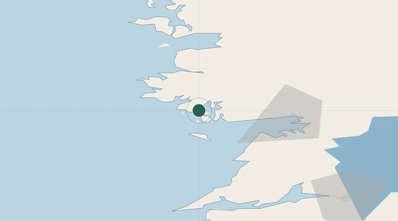
Hub Profile
Place type
Populated place
Region
Connacht
Time zone
Europe/Dublin
Elevation
23 m
Location
Nearby Logistics Neighbours
Cities
- 1Rossaveel13 km
- 2Kilronan23 km
- 3Ennistymon52 km
- 4Clare Island56 km
- 5Kilmurry61 km
Airports
- 1Connemara Regional Airport20 km
- 2Inishmore Aerodrome24 km
- 3Inishmaan Aerodrome27 km
- 4Inisheer Aerodrome32 km
- 5Shannon Airport87 km
Trade Zones
DatabookThe Record of Consolidated Knowledge
Ireland beyond logistics?