Medium airport · United Kingdom

Blackpool AirportEGNH
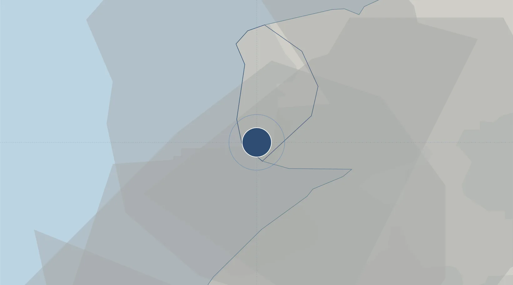
53.7717°, -3.0286°
6,129 ft
Longest runway
2
Runways
34 ft
Elevation

Runway & Layout

Blackpool Airport runway & taxiway layout
Runway & taxiway layout — OpenStreetMap (ODbL) / OurAirports

Radio Frequencies

ATIS
121.75 MHz
TWR
118.4 MHz
APP
119.95 MHz
OurAirports

Runways · 2

RunwayDimensions SurfaceTrue headingLit
10/28 6,129 × 148ft Asphalt 095°
13/31 3,274 × 78ft Asphalt 127°
OurAirports

Airport Specifications

IATA code
BLK
OurAirports
ICAO code
EGNH
OurAirports
Airport class
Medium airport
OurAirports
Scheduled service
No
OurAirports
Runway surface
Asphalt
OurAirports
Served city
Blackpool
OurAirports

Location

Location of EGNH
Natural Earth 10m (public domain) · Blackpool · EGNH · 53.77, -3.03GoogleOSMYandex

Nearby Logistics Neighbours

Airports
  1. 1Warton Aerodrome10 km
  2. 2Barrow Walney Island Airport43 km
  3. 3Liverpool John Lennon Airport50 km
  4. 4Hawarden Airport66 km
  5. 5Manchester Airport68 km
Nearest neighbours — logibook spatial index (haversine) over the source coordinates
Cities
  1. 1Saint-Anne's-on-Sea3 km
  2. 2Southport14 km
  3. 3Birkdale15 km
  4. 4Fleetwood16 km
  5. 5Much Hoole17 km
Nearest neighbours — logibook spatial index (haversine) over the source coordinates
Ports
  1. 1Fleetwood16 km
  2. 2Heysham30 km
  3. 3Lancaster35 km
  4. 4Liverpool40 km
  5. 5Barrow In Furness41 km
Nearest neighbours — logibook spatial index (haversine) over the source coordinates
Trade Zones
  1. 1Blackpool Enterprise Zone0 km
  2. 2Hillhouse Enterprise Zone5 km
  3. 3Lancashire Enterprise Zone20 km
  4. 4Liverpool Free Zone36 km
  5. 5Mersey Waters Enterprise Zone41 km
Nearest neighbours — logibook spatial index (haversine) over the source coordinates
DatabookThe Record of Consolidated Knowledge
United Kingdom beyond logistics?
Browse databook

All Sources

AirportsOurAirports
Public domain
Portsthe NGA World Port Index
Public domain (US gov)
LocationsUN/LOCODE
UN/LOCODE — free
Trade Zonesthe World Bank SEZ database
CC BY 4.0
Trade ZonesOpen Zone Map
CC BY
InfrastructureOpenStreetMap
ODbL 1.0
← United Kingdom airports