UN/LOCODE hub · United Kingdom
GBCUJ

Cumbria

54.5000°, -3.2500°
2
Transport functions

Transport Functions

Port
Multimodal
UN/LOCODE

Hub Profile

Region
NYK
GeoNames

Location

Location of GBCUJ
Natural Earth 10m (public domain) · NYK · GBCUJ · 54.50, -3.25GoogleOSMYandex

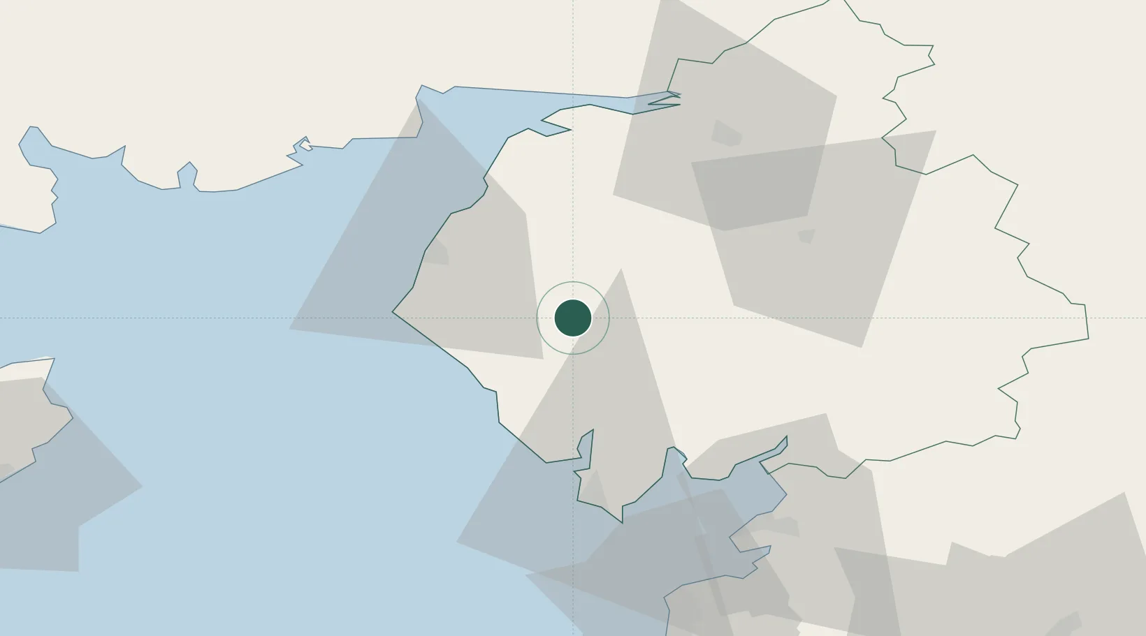
Nearby Logistics Neighbours

Cities
  1. 1Borrowstowness19 km
  2. 2Ravenglass19 km
  3. 3Ambleside20 km
  4. 4Broughton In Furness26 km
  5. 5Grange over Sands28 km
Nearest neighbours — logibook spatial index (haversine) over the source coordinates
Ports
  1. 1Workington26 km
  2. 2Silloth42 km
  3. 3Barrow In Furness43 km
  4. 4Heysham56 km
  5. 5Lancaster59 km
Nearest neighbours — logibook spatial index (haversine) over the source coordinates
Airports
  1. 1Barrow Walney Island Airport41 km
  2. 2Carlisle Lake District Airport56 km
  3. 3RAF Spadeadam76 km
  4. 4Blackpool Airport82 km
  5. 5Warton Aerodrome87 km
Nearest neighbours — logibook spatial index (haversine) over the source coordinates
Trade Zones
  1. 1Carlisle Kingmoor Park Enterprise Zone52 km
  2. 2Blackpool Enterprise Zone82 km
  3. 3Hillhouse Enterprise Zone82 km
  4. 4Lancashire Enterprise Zone89 km
  5. 5Isle of Man Free Zone and Business Park100 km
Nearest neighbours — logibook spatial index (haversine) over the source coordinates
DatabookThe Record of Consolidated Knowledge
United Kingdom beyond logistics?
Browse databook

All Sources

LocationsUN/LOCODE
UN/LOCODE — free
Portsthe NGA World Port Index
Public domain (US gov)
AirportsOurAirports
Public domain
Trade Zonesthe World Bank SEZ database
CC BY 4.0
Trade ZonesOpen Zone Map
CC BY
← United Kingdom locations