Transport Functions
Rail
Hub Profile
Place type
Populated place
Region
England
Time zone
Europe/London
Elevation
71 m
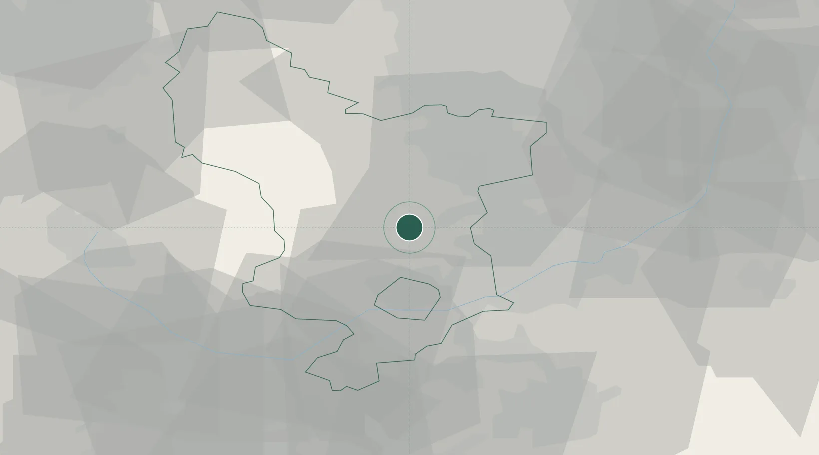
Location
Nearby Logistics Neighbours
Cities
- 1Denby6 km
- 2Coxbench10 km
- 3Langley Mill10 km
- 4Matlock Bath10 km
- 5Little Eaton11 km
Ports
- 1Manchester72 km
- 2Goole84 km
- 3Howdendyke85 km
- 4Boston98 km
- 5Garlston101 km
Airports
- 1East Midlands Airport26 km
- 2Nottingham City Airport30 km
- 3RAF Barkston Heath62 km
- 4Manchester Airport64 km
- 5RAF Waddington64 km
Trade Zones
DatabookThe Record of Consolidated Knowledge
United Kingdom beyond logistics?