Transport Functions
Rail
Road
Hub Profile
Place type
Populated place
Region
England
Time zone
Europe/London
Elevation
64 m
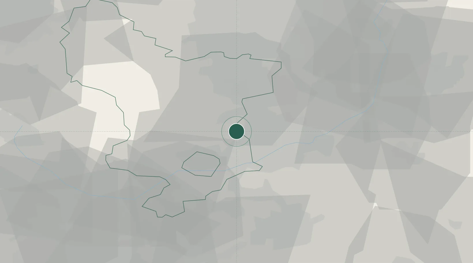
Location
Nearby Logistics Neighbours
Cities
- 1Denby5 km
- 2Cossall7 km
- 3Annesley Woodhouse8 km
- 4Coxbench9 km
- 5Ambergate10 km
Ports
- 1Manchester81 km
- 2Goole83 km
- 3Howdendyke85 km
- 4Boston88 km
- 5New Holland99 km
Airports
- 1Nottingham City Airport20 km
- 2East Midlands Airport21 km
- 3RAF Barkston Heath52 km
- 4RAF Cranwell56 km
- 5RAF Waddington57 km
Trade Zones
DatabookThe Record of Consolidated Knowledge
United Kingdom beyond logistics?