UN/LOCODE hub · United Kingdom
GBLTE
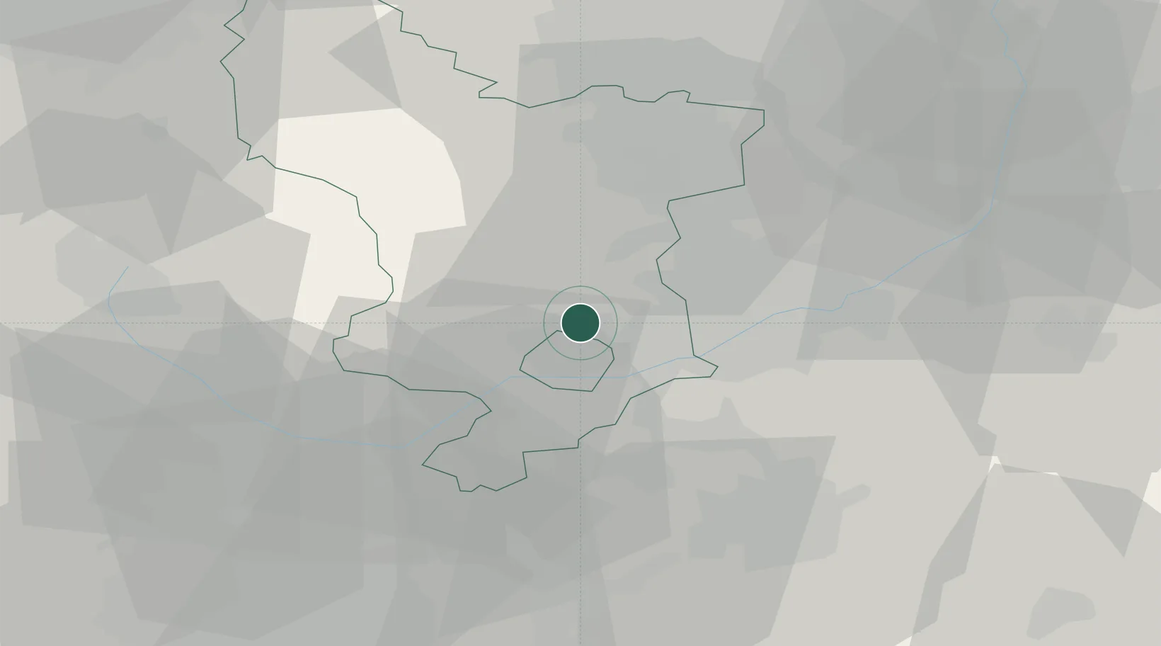
Little Eaton
52.9500°, -1.4500°
2,060
Population
2
Transport functions
Transport Functions
Road
Multimodal
Hub Profile
Place type
Populated place
Region
England
Population
2,060
Time zone
Europe/London
Elevation
59 m
Location
Nearby Logistics Neighbours
Cities
- 1Coxbench2 km
- 2Hilton/Derby4 km
- 3Denby8 km
- 4Langley Mill11 km
- 5Ambergate11 km
Ports
- 1Manchester81 km
- 2Goole93 km
- 3Howdendyke95 km
- 4Boston96 km
- 5Garlston106 km
Airports
- 1East Midlands Airport16 km
- 2Nottingham City Airport25 km
- 3Birmingham Airport59 km
- 4RAF Barkston Heath60 km
- 5Coventry Airport65 km
DatabookThe Record of Consolidated Knowledge
United Kingdom beyond logistics?