Transport Functions
Road
Multimodal
Hub Profile
Place type
Populated place
Region
England
Time zone
Europe/London
Elevation
67 m
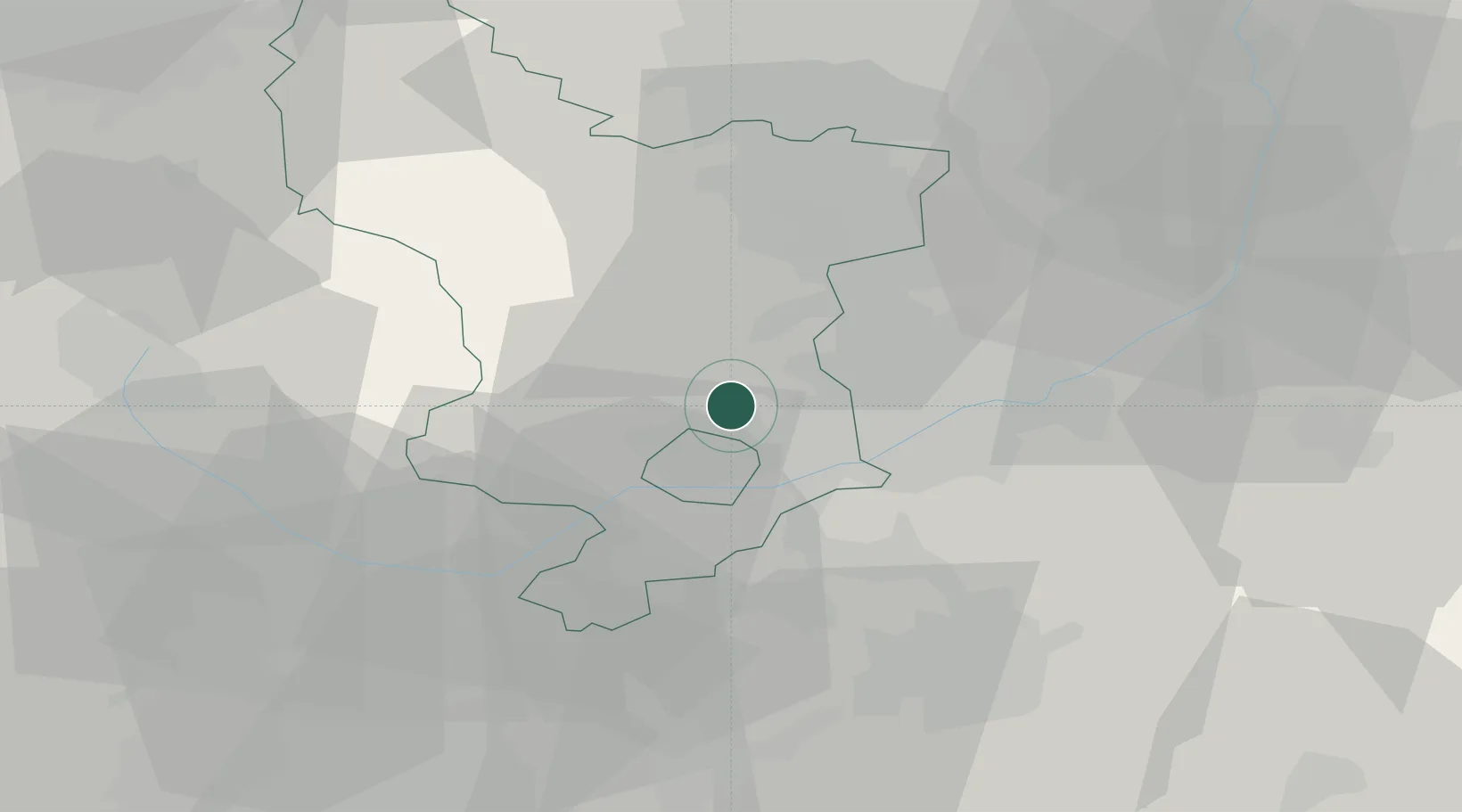
Location
Nearby Logistics Neighbours
Cities
- 1Little Eaton2 km
- 2Hilton/Derby6 km
- 3Denby6 km
- 4Langley Mill9 km
- 5Ambergate10 km
Ports
- 1Manchester80 km
- 2Goole91 km
- 3Howdendyke93 km
- 4Boston95 km
- 5Garlston107 km
Airports
- 1East Midlands Airport17 km
- 2Nottingham City Airport24 km
- 3RAF Barkston Heath59 km
- 4Birmingham Airport61 km
- 5RAF Cranwell63 km
Trade Zones
DatabookThe Record of Consolidated Knowledge
United Kingdom beyond logistics?