Transport Functions
Port
Road
Hub Profile
Place type
Populated place
Region
England
Time zone
Europe/London
Elevation
97 m
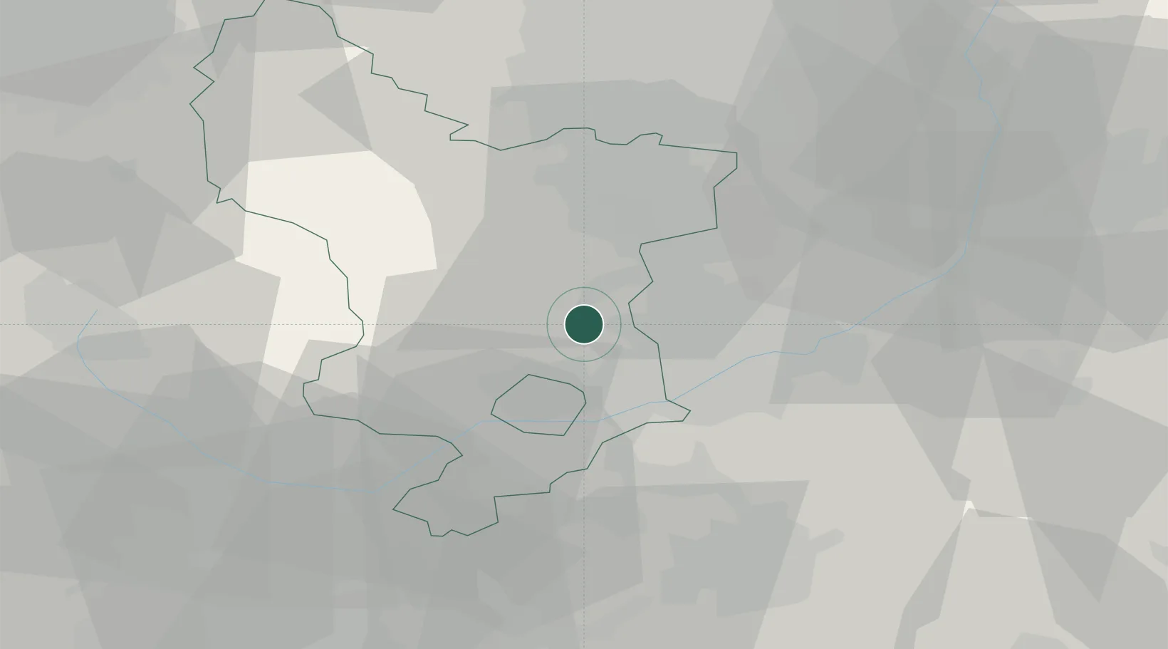
Location
Nearby Logistics Neighbours
Cities
- 1Langley Mill5 km
- 2Ambergate6 km
- 3Coxbench6 km
- 4Little Eaton8 km
- 5Cossall10 km
Ports
- 1Manchester78 km
- 2Goole85 km
- 3Howdendyke87 km
- 4Boston93 km
- 5New Holland102 km
Airports
- 1East Midlands Airport21 km
- 2Nottingham City Airport24 km
- 3RAF Barkston Heath57 km
- 4RAF Cranwell61 km
- 5RAF Waddington61 km
Trade Zones
DatabookThe Record of Consolidated Knowledge
United Kingdom beyond logistics?