Transport Functions
Road
Multimodal
Hub Profile
Place type
Populated place
Region
England
Time zone
Europe/London
Elevation
98 m
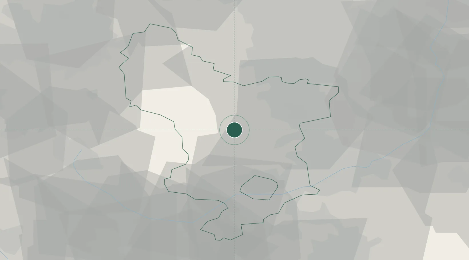
Location
Nearby Logistics Neighbours
Ports
- 1Manchester62 km
- 2Goole81 km
- 3Howdendyke82 km
- 4Garlston93 km
- 5Liverpool101 km
Airports
- 1East Midlands Airport36 km
- 2Nottingham City Airport39 km
- 3Manchester Airport54 km
- 4RAF Barkston Heath70 km
- 5RAF Waddington70 km
DatabookThe Record of Consolidated Knowledge
United Kingdom beyond logistics?