Large airport · United Kingdom
Manchester AirportEGCC
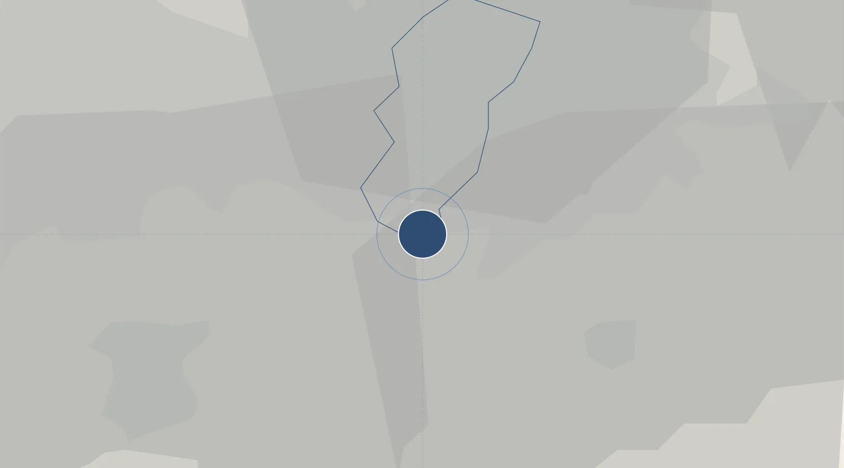
53.3494°, -2.2795°
10,007 ft
Longest runway
2
Runways
257 ft
Elevation
Runway & Layout

Radio Frequencies
ATIS
128.175 MHz
TWR
118.625 MHz
TWR
119.4 MHz
GND
121.85 MHz
CLD
121.7 MHz
CLNC DEL
APP
135 MHz
Navaids
MCH NDB Manchester 428 kHz
MCT VOR-DME Manchester 113.55 MHz
Runways · 2
| Runway | Dimensions | Surface | True heading | Lit |
|---|---|---|---|---|
| 05R/23L | 10,007 × 148ft | Concrete | 051° | ✓ |
| 05L/23R | 10,000 × 148ft | Asphalt | 051° | ✓ |
Airport Specifications
IATA code
MAN
ICAO code
EGCC
Airport class
Large airport
Scheduled service
Yes
Runway surface
Concrete
Served city
Manchester, Greater Manchester
Location
Nearby Logistics Neighbours
Airports
- 1Liverpool John Lennon Airport38 km
- 2Hawarden Airport50 km
- 3Warton Aerodrome59 km
- 4RAF Shawbury67 km
- 5Blackpool Airport68 km
Cities
- 1Handforth4 km
- 2Cheadle Hulme7 km
- 3Bramhall8 km
- 4Great Longstone9 km
- 5Stockport10 km
Ports
- 1Manchester15 km
- 2Garlston41 km
- 3Liverpool48 km
- 4Mostyn66 km
- 5Fleetwood80 km
Trade Zones
DatabookThe Record of Consolidated Knowledge
United Kingdom beyond logistics?