Transport Functions
Multimodal
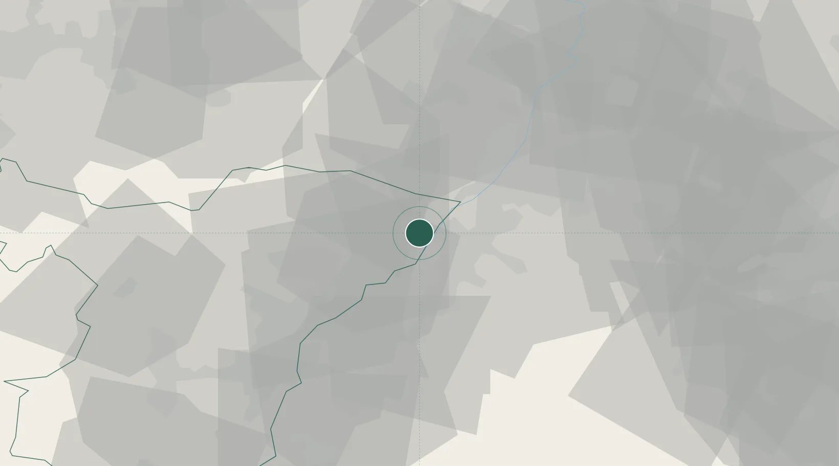
Hub Profile
Place type
Populated place
Region
Grand Est
Population
3,171
Time zone
Europe/Paris
Elevation
122 m
Location
Nearby Logistics Neighbours
Cities
- 1Rschwoog7 km
- 2Rastatt8 km
- 3Hatten9 km
- 4Ötigheim10 km
- 5Lauterbourg12 km
Airports
- 1Karlsruhe Baden-Baden Airport12 km
- 2Strasbourg Airport52 km
- 3Lahr Airport61 km
- 4Phalsbourg-Bourscheid Air Base67 km
- 5Ramstein Air Base72 km
Trade Zones
- 1ZFU Hautepierre44 km
- 2ZFU Neuhof45 km
- 3ZFU La Cité Behren-lès-Forbach91 km
- 4ZFU Mulhouse138 km
- 5ZFU Maxéville, Laxou, et de Nancy143 km
DatabookThe Record of Consolidated Knowledge
France beyond logistics?