Transport Functions
Rail
Road
Hub Profile
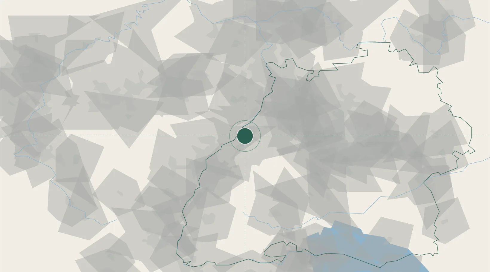
Place type
District seat
Region
Baden-Wurttemberg
Population
47,906
Time zone
Europe/Berlin
Elevation
126 m
Location
Nearby Logistics Neighbours
Cities
- 1Ötigheim4 km
- 2Kuppenheim5 km
- 3Seltz8 km
- 4Sinzheim10 km
- 5Malsch10 km
Airports
- 1Karlsruhe Baden-Baden Airport12 km
- 2Strasbourg Airport54 km
- 3Lahr Airport60 km
- 4Mannheim-City Airport73 km
- 5Phalsbourg-Bourscheid Air Base74 km
Trade Zones
- 1ZFU Hautepierre47 km
- 2ZFU Neuhof47 km
- 3ZFU La Cité Behren-lès-Forbach99 km
- 4ZFU Mulhouse138 km
- 5ZFU Maxéville, Laxou, et de Nancy150 km
DatabookThe Record of Consolidated Knowledge
Germany beyond logistics?