Transport Functions
Rail
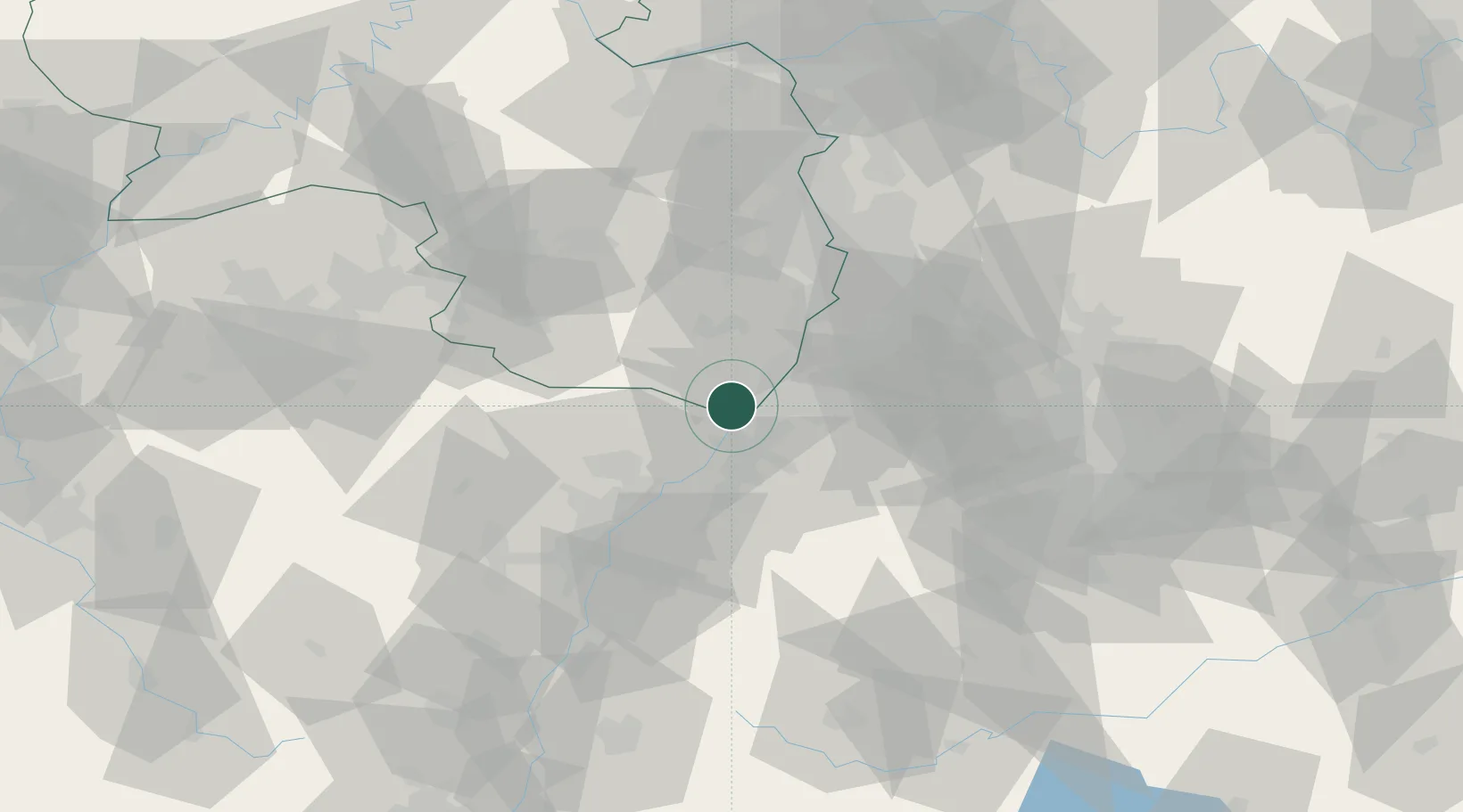
Hub Profile
Place type
Populated place
Region
Grand Est
Population
2,266
Time zone
Europe/Paris
Elevation
120 m
Location
Nearby Logistics Neighbours
Cities
- 1Berg (Gemersheim)2 km
- 2Freckenfeld9 km
- 3Durmersheim9 km
- 4Rheinstetten10 km
- 5Kandel11 km
Airports
- 1Karlsruhe Baden-Baden Airport24 km
- 2Mannheim-City Airport60 km
- 3Strasbourg Airport63 km
- 4Ramstein Air Base65 km
- 5Lahr Airport73 km
Trade Zones
- 1ZFU Hautepierre56 km
- 2ZFU Neuhof57 km
- 3ZFU La Cité Behren-lès-Forbach93 km
- 4ZFU Metz147 km
- 5ZFU Woippy-Metz148 km
DatabookThe Record of Consolidated Knowledge
France beyond logistics?