UN/LOCODE hub · France
FRBR6

Rschwoog

48.8333°, 8.0333°
1
Transport functions

Transport Functions

Multimodal
UN/LOCODE

Hub Profile

Region
67
GeoNames

Location

Location of FRBR6
Natural Earth 10m (public domain) · 67 · FRBR6 · 48.83, 8.03GoogleOSMYandex

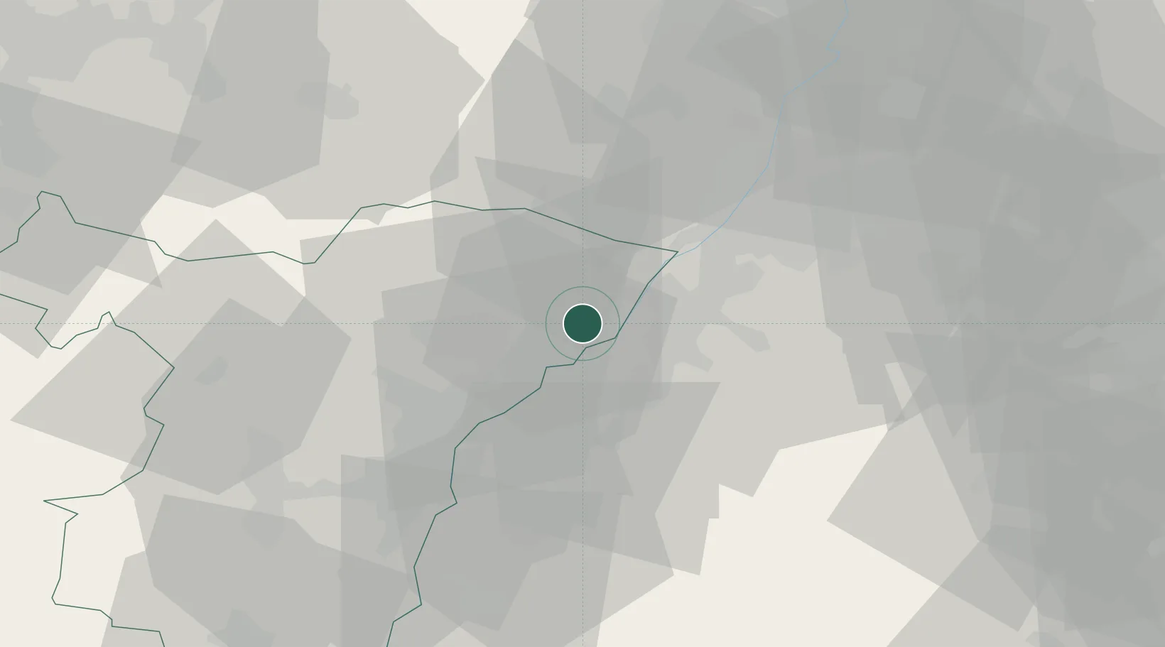
Nearby Logistics Neighbours

Cities
  1. 1Seltz7 km
  2. 2Hatten8 km
  3. 3Stollhofen9 km
  4. 4Greffern/Rheinmünster10 km
  5. 5Rheinmünster10 km
Nearest neighbours — logibook spatial index (haversine) over the source coordinates
Ports
  1. 1Bruxelles348 km
  2. 2Antwerpen371 km
  3. 3Hansweert409 km
  4. 4Dordrecht410 km
  5. 5Rotterdam424 km
Nearest neighbours — logibook spatial index (haversine) over the source coordinates
Airports
  1. 1Karlsruhe Baden-Baden Airport7 km
  2. 2Strasbourg Airport44 km
  3. 3Lahr Airport54 km
  4. 4Phalsbourg-Bourscheid Air Base62 km
  5. 5Ramstein Air Base74 km
Nearest neighbours — logibook spatial index (haversine) over the source coordinates
Trade Zones
  1. 1ZFU Hautepierre37 km
  2. 2ZFU Neuhof38 km
  3. 3ZFU La Cité Behren-lès-Forbach89 km
  4. 4ZFU Mulhouse131 km
  5. 5ZFU Maxéville, Laxou, et de Nancy138 km
Nearest neighbours — logibook spatial index (haversine) over the source coordinates
DatabookThe Record of Consolidated Knowledge
France beyond logistics?
Browse databook

All Sources

LocationsUN/LOCODE
UN/LOCODE — free
Portsthe NGA World Port Index
Public domain (US gov)
AirportsOurAirports
Public domain
Trade Zonesthe World Bank SEZ database
CC BY 4.0
Trade ZonesOpen Zone Map
CC BY
← France locations