Medium airport · France
Phalsbourg-Bourscheid Air BaseLFQP
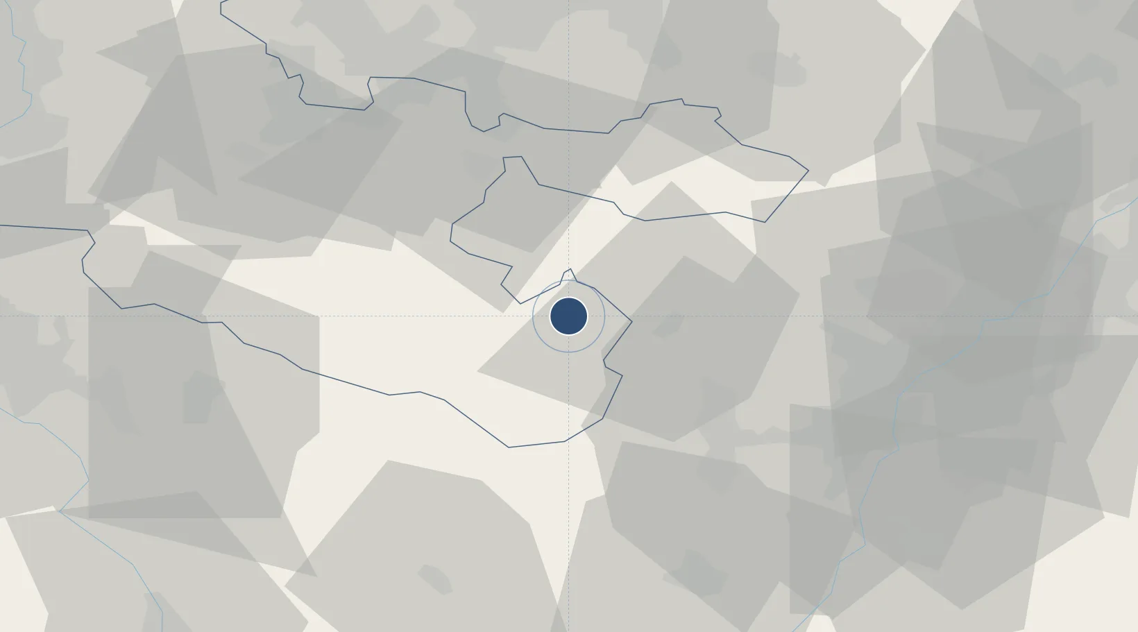
48.7662°, 7.2006°
7,205 ft
Longest runway
1
Runways
1,017 ft
Elevation
Runway & Layout

Radio Frequencies
ATIS
141.05 MHz
TWR
129.8 MHz
PHALSBOURG TWR
GND
139.6 MHz
PHALSBOURG GND
APP
128.75 MHz
PHALSBOURG APP
Runways · 1
| Runway | Dimensions | Surface | True heading | Lit |
|---|---|---|---|---|
| 06/24 | 7,205 × 148ft | Asphalt | 057° | ✓ |
Airport Specifications
ICAO code
LFQP
Airport class
Medium airport
Scheduled service
No
Runway surface
Asphalt
Served city
Bourscheid
Location
Nearby Logistics Neighbours
Airports
- 1Strasbourg Airport40 km
- 2Saarbrücken Airport50 km
- 3Lahr Airport64 km
- 4Karlsruhe Baden-Baden Airport65 km
- 5Nancy-Essey Airport72 km
Cities
- 1Lutzelbourg5 km
- 2Troisfontaines13 km
- 3Saverne13 km
- 4Monswiller14 km
- 5Hartzviller14 km
Trade Zones
- 1ZFU Hautepierre41 km
- 2ZFU Neuhof48 km
- 3ZFU La Cité Behren-lès-Forbach49 km
- 4ZFU Maxéville, Laxou, et de Nancy76 km
- 5ZFU Metz85 km
DatabookThe Record of Consolidated Knowledge
France beyond logistics?