Transport Functions
Multimodal
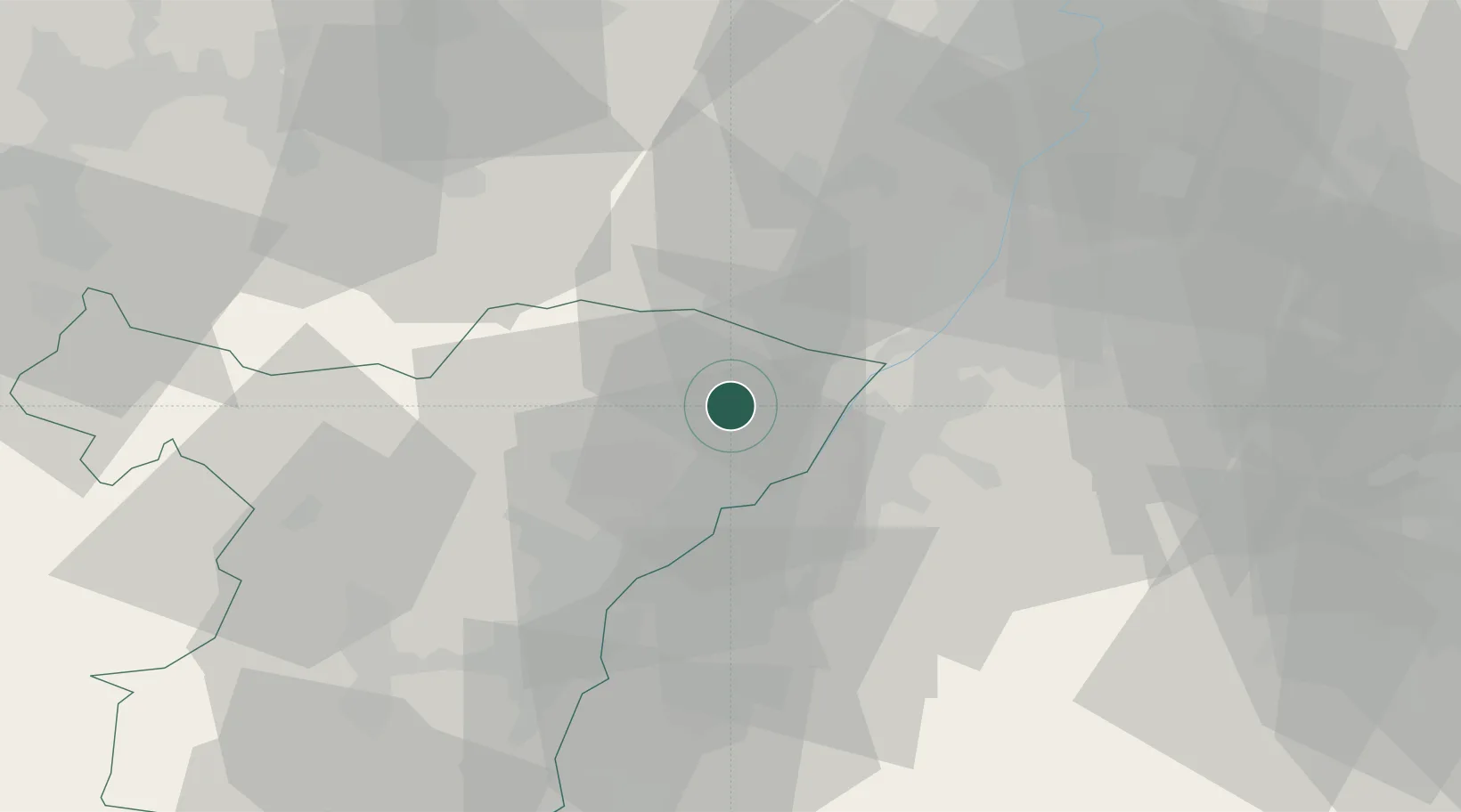
Hub Profile
Place type
Populated place
Region
Grand Est
Population
1,965
Time zone
Europe/Paris
Elevation
151 m
Location
Nearby Logistics Neighbours
Cities
- 1Hunspach6 km
- 2Seebach7 km
- 3Rschwoog8 km
- 4Seltz9 km
- 5Retschwiller10 km
Airports
- 1Karlsruhe Baden-Baden Airport15 km
- 2Strasbourg Airport48 km
- 3Phalsbourg-Bourscheid Air Base59 km
- 4Lahr Airport60 km
- 5Ramstein Air Base66 km
Trade Zones
- 1ZFU Hautepierre40 km
- 2ZFU Neuhof43 km
- 3ZFU La Cité Behren-lès-Forbach83 km
- 4ZFU Metz135 km
- 5ZFU Maxéville, Laxou, et de Nancy135 km
DatabookThe Record of Consolidated Knowledge
France beyond logistics?