Medium airport · Germany
Ramstein Air BaseETAR
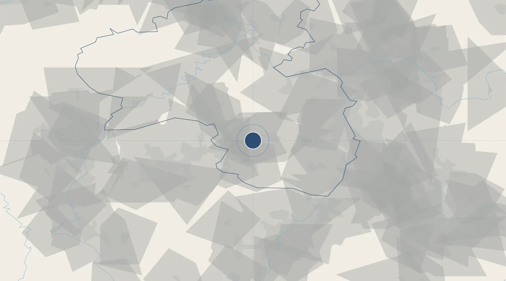
49.4369°, 7.6003°
10,498 ft
Longest runway
2
Runways
776 ft
Elevation
Runway & Layout

Radio Frequencies
ATIS
124.275 MHz
TWR
133.2 MHz
GND
121.775 MHz
GCA
140.9 MHz
OPS
131.975 MHz
AMC AIRLIFT AMCC
PMSV
28.442 MHz
PMSV METRO
POST
37.267 MHz
WING COMD POST
PTD
36.912 MHz
DISPATCH
RDR
129.675 MHz
LANGEN RADAR
Navaids
RMS TACAN Ramstein 113.40 MHz
Runways · 2
| Runway | Dimensions | Surface | True heading | Lit |
|---|---|---|---|---|
| 08/26 | 10,498 × 148ft | Asphalt | 083° | ✓ |
| 09/27 | 9,278 × 148ft | Asphalt | 087° | — |
Airport Specifications
IATA code
RMS
ICAO code
ETAR
Airport class
Medium airport
Scheduled service
No
Runway surface
Asphalt
Served city
Ramstein-Miesenbach
Location
Nearby Logistics Neighbours
Airports
- 1Saarbrücken Airport43 km
- 2Frankfurt-Hahn Airport62 km
- 3Mannheim-City Airport66 km
- 4Mainz-Finthen Airfield71 km
- 5Phalsbourg-Bourscheid Air Base80 km
Cities
- 1Mackenbach4 km
- 2Kottweiler-Schwanden7 km
- 3Dittweiler7 km
- 4Hütschenhausen9 km
- 5Hauptstuhl9 km
Trade Zones
- 1ZFU La Cité Behren-lès-Forbach57 km
- 2ZFU Hautepierre94 km
- 3ZFU Neuhof100 km
- 4Luxembourg Free Port102 km
- 5ZFU Woippy-Metz110 km
DatabookThe Record of Consolidated Knowledge
Germany beyond logistics?