Transport Functions
Multimodal
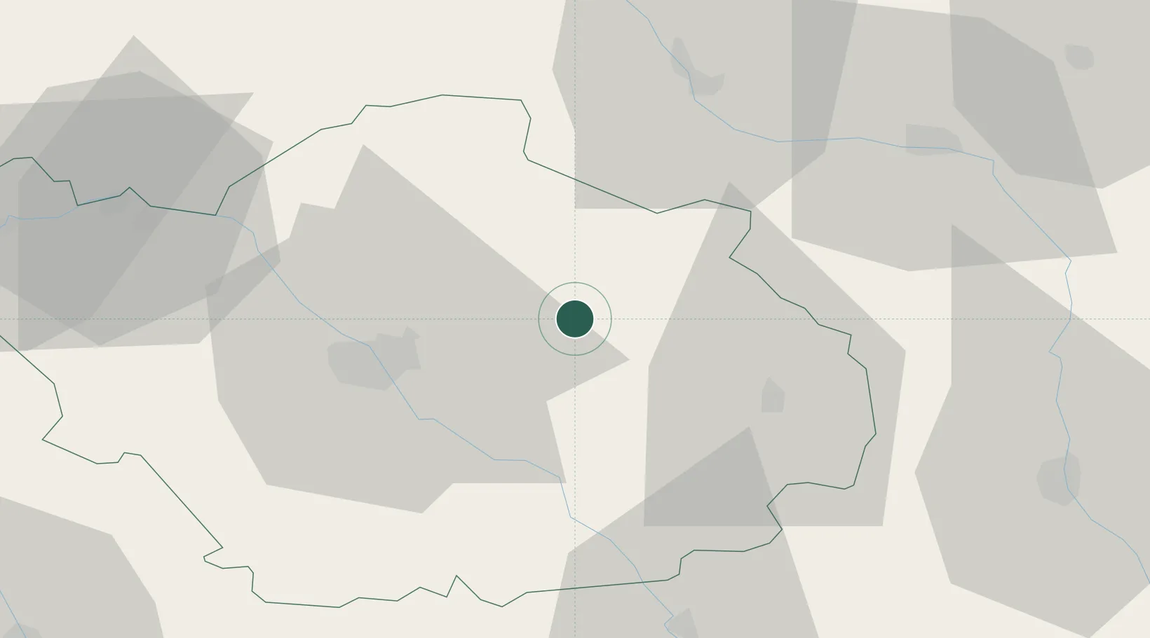
Hub Profile
Place type
Populated place
Region
Grand Est
Population
594
Time zone
Europe/Paris
Elevation
114 m
Location
Nearby Logistics Neighbours
Cities
- 1Onjon9 km
- 2Brienne-le-Château11 km
- 3Vendeuvre-sur-Barse16 km
- 4Lusigny-sur-Barse16 km
- 5Montiéramey17 km
Ports
- 1Bruxelles278 km
- 2Ghent304 km
- 3Antwerpen317 km
- 4Nieuwpoort330 km
- 5Bruges330 km
Airports
Trade Zones
- 1ZFU La Chapelle Saint-Luc, Les Noës-près-Troyes, Troyes, Sainte-Savine28 km
- 2ZFU Saint-Dizier46 km
- 3ZFU Sens86 km
- 4ZFU Reims103 km
- 5ZFU Montereau-Fault-Yonne108 km
DatabookThe Record of Consolidated Knowledge
France beyond logistics?