Economic Revitalization Project · France

ZFU La Chapelle Saint-Luc, Les Noës-près-Troyes, Troyes, Sainte-Savine Active
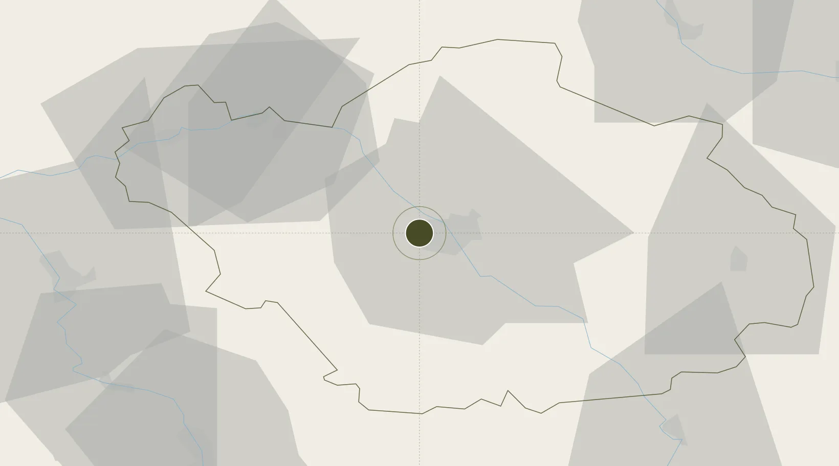
48.3033°, 4.0319°
134 ha
Zone area
286.0 km
Nearest port
2.4 km
Nearest airport

Gateway access

Nearest neighbours — logibook spatial index (haversine) over the source coordinates

Zone profile

Zone type
Economic Revitalization Project
Open Zone Map
Region
Aube
Open Zone Map
Status
Active
Open Zone Map
Management
Public
Open Zone Map
Operator
Les Noës-près-Troyes
Open Zone Map
Legal framework
Décret no 65-939 du 8 novembre 1965, Décret du 9 Octobre 2008
Open Zone Map

Location

Location of ozm-1966
Natural Earth 10m (public domain) · Aube · ozm-1966 · 48.30, 4.03GoogleOSMYandex

Nearby Logistics Neighbours

Ports
  1. 1Bruxelles286 km
  2. 2Ghent308 km
  3. 3Antwerpen325 km
  4. 4Nieuwpoort328 km
  5. 5Gravelines330 km
Nearest neighbours — logibook spatial index (haversine) over the source coordinates
Airports
  1. 1Troyes-Barberey Airport2 km
  2. 2Chalons Vatry airport54 km
  3. 3Auxerre Branches airport64 km
  4. 4Saint-Dizier – Robinson Air Base74 km
  5. 5Melun-Villaroche Airfield106 km
Nearest neighbours — logibook spatial index (haversine) over the source coordinates
Cities
  1. 1Sainte-Savine1 km
  2. 2La Rivière-de-Corps2 km
  3. 3Barberey-Saint-Sulpice3 km
  4. 4Troyes4 km
  5. 5Lavau4 km
Nearest neighbours — logibook spatial index (haversine) over the source coordinates
Trade Zones
  1. 1ZFU Sens58 km
  2. 2ZFU Saint-Dizier72 km
  3. 3ZFU Montereau-Fault-Yonne81 km
  4. 4ZFU Reims106 km
  5. 5ZFU Melun106 km
Nearest neighbours — logibook spatial index (haversine) over the source coordinates
DatabookThe Record of Consolidated Knowledge
France beyond logistics?
Browse databook

All Sources

Trade ZonesOpen Zone Map
CC BY
Portsthe NGA World Port Index
Public domain (US gov)
AirportsOurAirports
Public domain
LocationsUN/LOCODE
UN/LOCODE — free
← France trade zones