Medium airport · France
Troyes-Barberey AirportLFQB
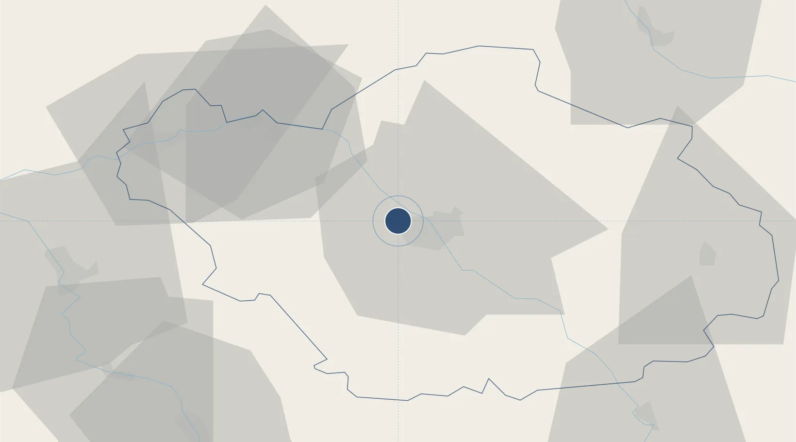
48.3221°, 4.0167°
5,413 ft
Longest runway
3
Runways
388 ft
Elevation
Runway & Layout

Radio Frequencies
APP
120.325 MHz
SEINE APP
AFIS
123.725 MHz
TROYES INFO
Navaids
TRO VOR Troyes 116.00 MHz
Runways · 3
| Runway | Dimensions | Surface | True heading | Lit |
|---|---|---|---|---|
| 17/35 | 5,413 × 98ft | Asphalt | 174° | ✓ |
| 17R/35L | 2,953 × 328ft | Grass | 174° | — |
| 05/23 | 2,408 × 328ft | Grass | 052° | — |
Airport Specifications
ICAO code
LFQB
Airport class
Medium airport
Scheduled service
No
Runway surface
Asphalt
Served city
Barberey-Saint-Sulpice, Aube
Location
Nearby Logistics Neighbours
Airports
- 1Chalons Vatry airport52 km
- 2Auxerre Branches airport65 km
- 3Saint-Dizier – Robinson Air Base74 km
- 4Melun-Villaroche Airfield104 km
- 5Paris-Orly Airport129 km
Cities
- 1Barberey-Saint-Sulpice2 km
- 2Sainte-Savine4 km
- 3La Rivière-de-Corps5 km
- 4Lavau5 km
- 5Troyes6 km
Ports
- 1Bruxelles284 km
- 2Ghent306 km
- 3Antwerpen323 km
- 4Nieuwpoort326 km
- 5Gravelines328 km
Trade Zones
DatabookThe Record of Consolidated Knowledge
France beyond logistics?