Transport Functions
Rail
Road
Hub Profile
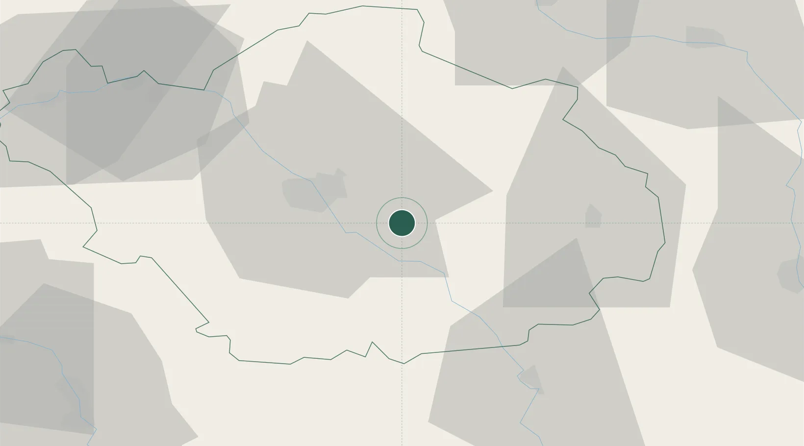
Place type
Populated place
Region
Grand Est
Time zone
Europe/Paris
Elevation
117 m
Location
Nearby Logistics Neighbours
Cities
- 1Lusigny-sur-Barse2 km
- 2Vaudes10 km
- 3Saint-Thibault12 km
- 4Vendeuvre-sur-Barse14 km
- 5Moussey14 km
Ports
- 1Bruxelles293 km
- 2Ghent318 km
- 3Antwerpen332 km
- 4Nieuwpoort341 km
- 5Bruges342 km
Airports
- 1Troyes-Barberey Airport22 km
- 2Chalons Vatry airport60 km
- 3Saint-Dizier – Robinson Air Base64 km
- 4Auxerre Branches airport72 km
- 5Dijon Longvic airport123 km
Trade Zones
- 1ZFU La Chapelle Saint-Luc, Les Noës-près-Troyes, Troyes, Sainte-Savine20 km
- 2ZFU Saint-Dizier62 km
- 3ZFU Sens75 km
- 4ZFU Montereau-Fault-Yonne101 km
- 5ZFU Reims116 km
DatabookThe Record of Consolidated Knowledge
France beyond logistics?