Transport Functions
Multimodal
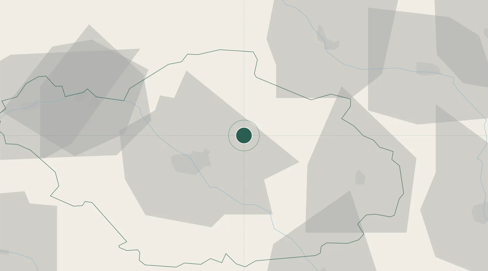
Hub Profile
Place type
Populated place
Region
Grand Est
Population
244
Time zone
Europe/Paris
Elevation
130 m
Location
Nearby Logistics Neighbours
Cities
- 1Brévonnes9 km
- 2Montsuzain12 km
- 3Creney-près-Troyes13 km
- 4Lusigny-sur-Barse17 km
- 5Lavau17 km
Ports
- 1Bruxelles274 km
- 2Ghent299 km
- 3Antwerpen313 km
- 4Nieuwpoort323 km
- 5Bruges324 km
Airports
Trade Zones
DatabookThe Record of Consolidated Knowledge
France beyond logistics?