Economic Revitalization Project · France

ZFU Saint-Dizier Active
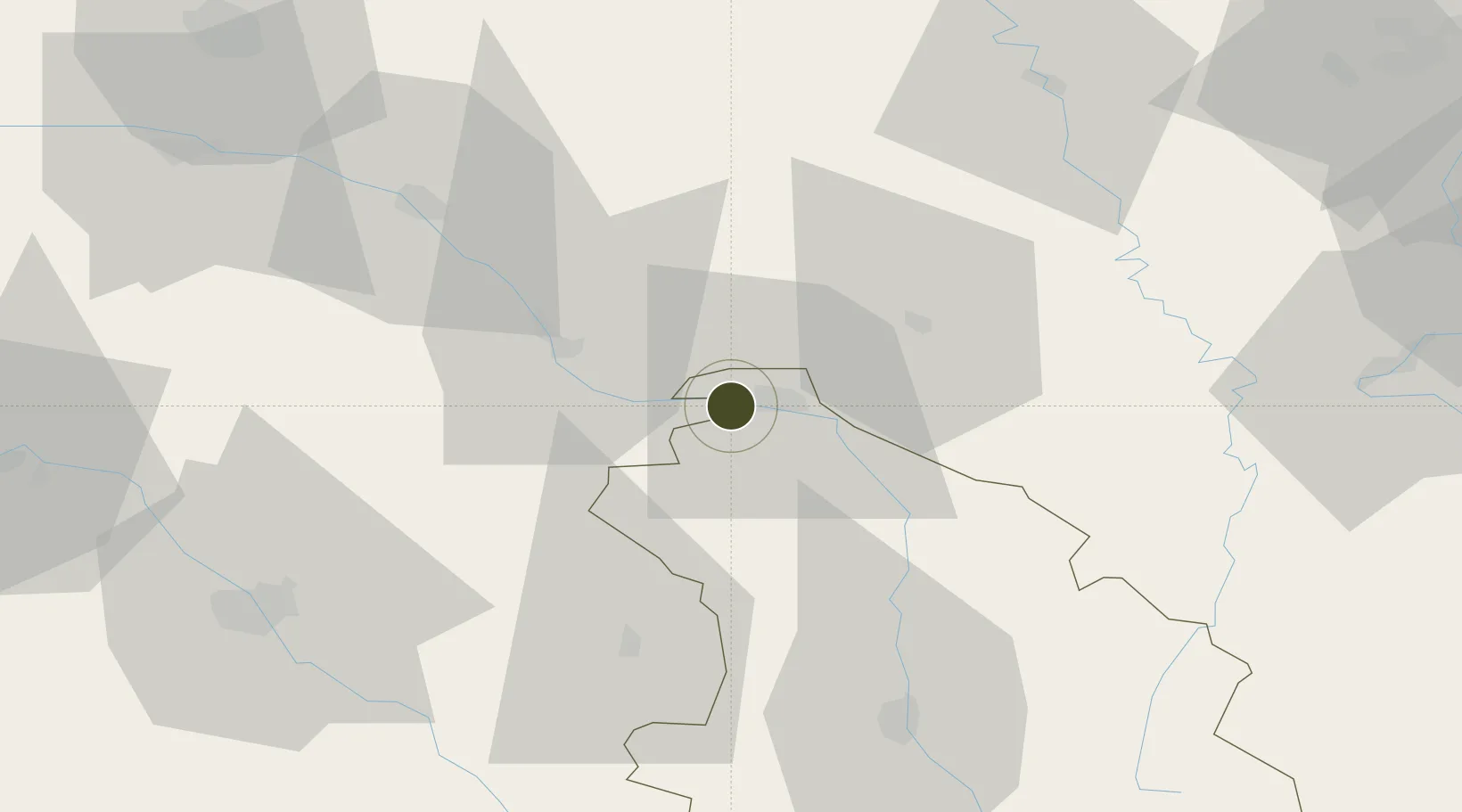
48.6319°, 4.8696°
222 ha
Zone area
251.3 km
Nearest port
2.2 km
Nearest airport

Gateway access

Nearest neighbours — logibook spatial index (haversine) over the source coordinates

Zone profile

Zone type
Economic Revitalization Project
Open Zone Map
Region
Haute-Marne
Open Zone Map
Status
Active
Open Zone Map
Management
Public
Open Zone Map
Operator
Saint-Dizier
Open Zone Map
Legal framework
Décret no 65-939 du 8 novembre 1965, Décret du 9 Octobre 2008
Open Zone Map

Location

Location of ozm-1997
Natural Earth 10m (public domain) · Haute-Marne · ozm-1997 · 48.63, 4.87GoogleOSMYandex

Nearby Logistics Neighbours

Ports
  1. 1Bruxelles251 km
  2. 2Ghent283 km
  3. 3Antwerpen289 km
  4. 4Terneuzen312 km
  5. 5Bruges313 km
Nearest neighbours — logibook spatial index (haversine) over the source coordinates
Airports
  1. 1Saint-Dizier – Robinson Air Base2 km
  2. 2Chalons Vatry airport51 km
  3. 3Verdun-Le Rozelier Airfield70 km
  4. 4Troyes-Barberey Airport72 km
  5. 5Nancy-Ochey (BA 133) Air Base80 km
Nearest neighbours — logibook spatial index (haversine) over the source coordinates
Cities
  1. 1Roches-sur-Marne11 km
  2. 2Pargny-sur-Saulx16 km
  3. 3Wassy16 km
  4. 4Cousances-les-Forges16 km
  5. 5Sermaize-les-Bains17 km
Nearest neighbours — logibook spatial index (haversine) over the source coordinates
Trade Zones
  1. 1ZFU La Chapelle Saint-Luc, Les Noës-près-Troyes, Troyes, Sainte-Savine72 km
  2. 2ZFU Reims95 km
  3. 3ZFU Maxéville, Laxou, et de Nancy95 km
  4. 4ZFU Metz108 km
  5. 5ZFU Woippy-Metz110 km
Nearest neighbours — logibook spatial index (haversine) over the source coordinates
DatabookThe Record of Consolidated Knowledge
France beyond logistics?
Browse databook

All Sources

Trade ZonesOpen Zone Map
CC BY
Portsthe NGA World Port Index
Public domain (US gov)
AirportsOurAirports
Public domain
LocationsUN/LOCODE
UN/LOCODE — free
← France trade zones