UN/LOCODE hub · France
FRYGN
Lusigny-sur-Barse
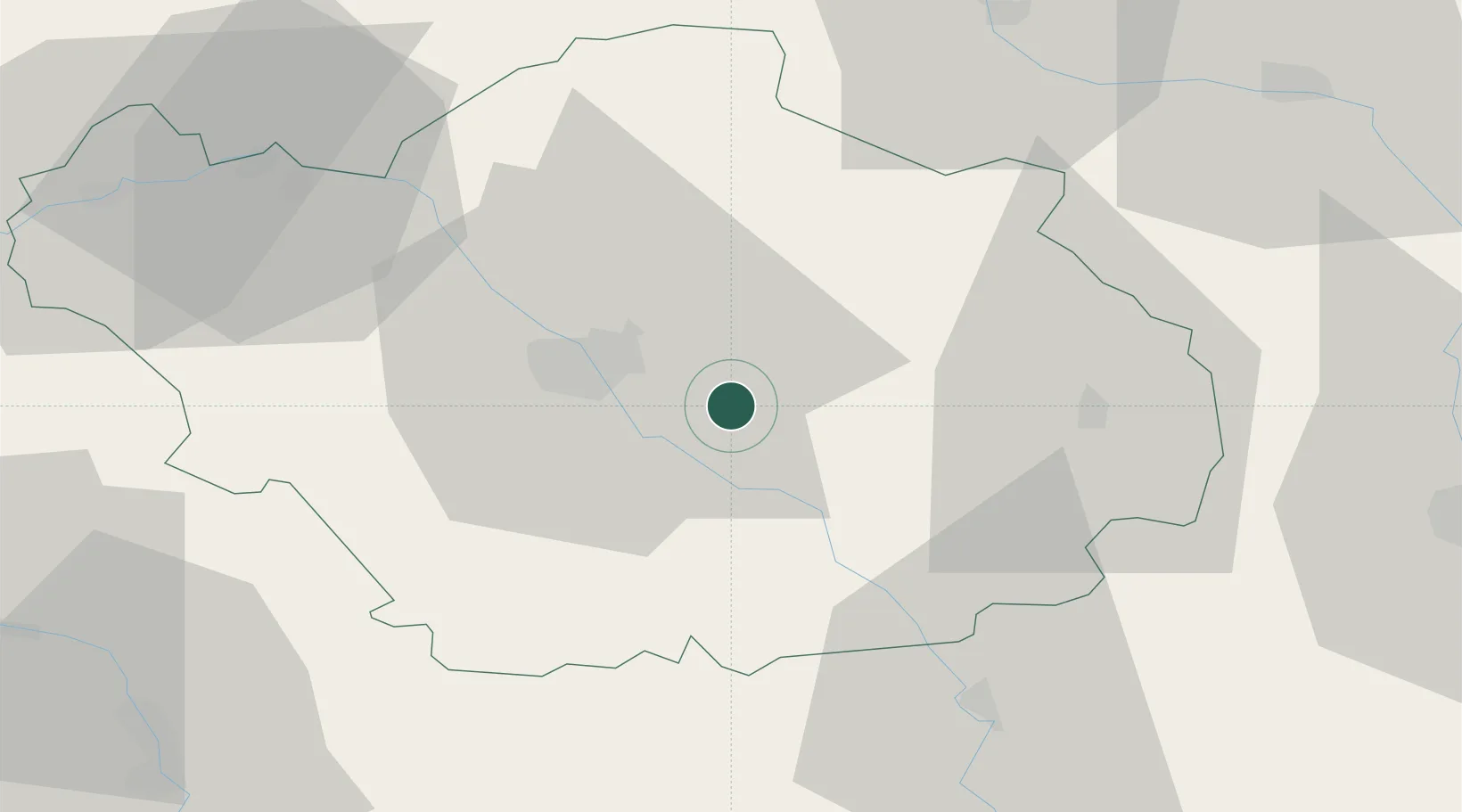
48.2500°, 4.2667°
1,465
Population
1
Transport functions
Transport Functions
Multimodal
Hub Profile
Place type
Populated place
Region
Grand Est
Population
1,465
Time zone
Europe/Paris
Elevation
124 m
Location
Nearby Logistics Neighbours
Cities
- 1Montiéramey2 km
- 2Vaudes11 km
- 3Saint-Thibault11 km
- 4Moussey13 km
- 5Creney-près-Troyes14 km
Ports
- 1Bruxelles291 km
- 2Ghent316 km
- 3Antwerpen330 km
- 4Nieuwpoort339 km
- 5Bruges340 km
Airports
Trade Zones
DatabookThe Record of Consolidated Knowledge
France beyond logistics?